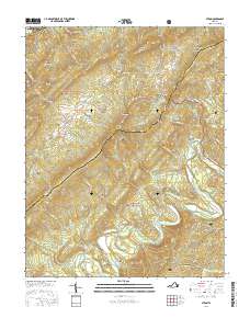
2016 Map of Strom
USGS Topo · Published 2016About this map
The Rich Patch Mountains define the high terrain of this portion of the Alleghany and Botetourt county line. The landscape reflects a history of industrial extraction and rural settlement along the winding waters of Craig Creek and its many tributaries. In the southern portion of the map, the community of Lignite and the presence of Iron Ore Knob suggest the area's geological and mining heritage, while the Old Rail Rd follows the valley floor near Surber, marking the former transportation corridors that once served these remote hollows.
Find a feature on this map
62 named features on this map. Tap any name to fly to it.
Don’t see what you’re looking for? This feature index may not catch every label — zoom into the map to look around manually.
Map Details
Editions of this 2016 Strom Map
This is the sole edition of this map. No revisions or reprints were ever made.
Other maps of this area

1887 · Lewisburg
USGS Topo · 1:125,000

1891 · Lewisburg
USGS Topo · 1:125,000

1894 · Natural Bridge
USGS Topo · 1:125,000

1913 · Eagle Rock
USGS Topo · 1:48,000

1915 · Eagle Rock
USGS Topo · 1:62,500

1921 · Callaghan
USGS Topo · 1:48,000

1923 · Callaghan
USGS Topo · 1:62,500

1945 · Clifton Forge
USGS Topo · 1:62,500
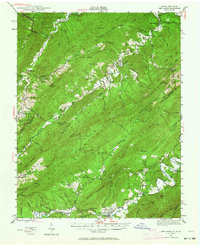
1945 · New Castle
USGS Topo · 1:62,500
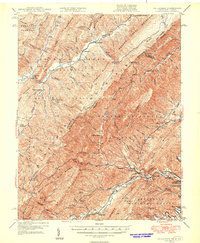
1946 · Callaghan
USGS Topo · 1:62,500