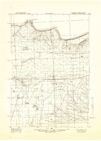
1941 Map of Strongs
USGS Topo · Published 1947About this map
Strongs and its neighboring settlements of Strongs Corners and Rexford anchor this 1941 survey of the Upper Peninsula's interior, showing a landscape defined by the Duluth South Shore and Atlantic railroad. This rail line, running parallel to State Hwy No 28, served as the primary artery for the region's timber and transit needs before the mid-century expansion of the local road network. The map reveals the early footprint of the United States Military Reservation and the nearby Raco Field, reflecting the era's mobilization efforts.
Find a feature on this map
26 named features on this map. Tap any name to fly to it.
Don’t see what you’re looking for? This feature index may not catch every label — zoom into the map to look around manually.
Map Details
Editions of this 1941 Strongs Map
This is the sole edition of this map. No revisions or reprints were ever made.
Other maps of this area
1931 · Epoufette NE
USGS Topo · 1:31,680
1941 · Brimley
USGS Topo · 1:63,360
1951 · Strongs
USGS Topo · 1:24,000
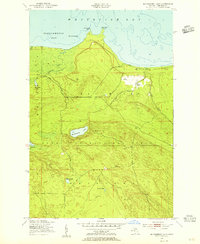
1951 · McNearney Lake
USGS Topo · 1:24,000
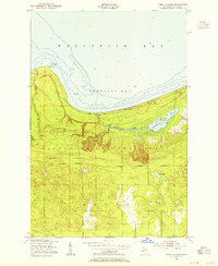
1951 · Pendills Lake
USGS Topo · 1:24,000
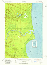
1951 · Emerson
USGS Topo · 1:24,000
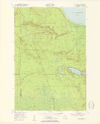
1951 · Piatt Lake
USGS Topo · 1:24,000
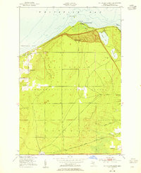
1951 · Dollar Settlement
USGS Topo · 1:24,000
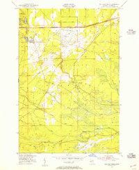
1951 · Sullivan Creek
USGS Topo · 1:24,000
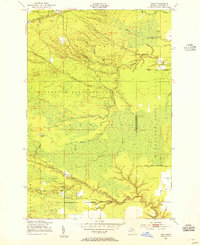
1951 · Raco
USGS Topo · 1:24,000
Featured Places
- Trout Lake Township, MI
- Bay Mills Township, MI
- Whitefish Township, MI
- Chippewa Township, MI
- Strongs Corner, MI