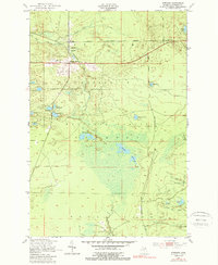
1951 Map of Strongs
USGS Topo · Published 1989About this map
The tiny settlement of Strongs serves as the focal point for this survey of the upper peninsula, situated where the Duluth South Shore and Atlantic railroad cuts through the lowlands of the Marquette National Forest. The map documents a rural community supported by essential civic buildings including the Town Hall, Jones Sch, and the Community Ch. Just to the south, Strongs Corner marks a critical road junction, while the local Colbert Cem provides a primary point of interest for those researching local family history.
Find a feature on this map
27 named features on this map. Tap any name to fly to it.
Don’t see what you’re looking for? This feature index may not catch every label — zoom into the map to look around manually.
Map Details
Editions of this 1951 Strongs Map
4 editions found
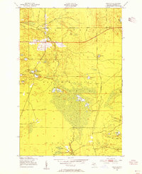
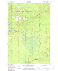
Other maps of this area

1931 · Epoufette NE
USGS Topo · 1:31,680

1941 · Strongs
USGS Topo · 1:63,360

1951 · Strongs
USGS Topo · 1:24,000

1951 · McNearney Lake
USGS Topo · 1:24,000

1951 · Pendills Lake
USGS Topo · 1:24,000

1951 · Piatt Lake
USGS Topo · 1:24,000

1951 · Sullivan Creek
USGS Topo · 1:24,000

1951 · Eckerman
USGS Topo · 1:24,000

1951 · Strongs
USGS Topo · 1:62,500

1951 · Eckerman
USGS Topo · 1:62,500