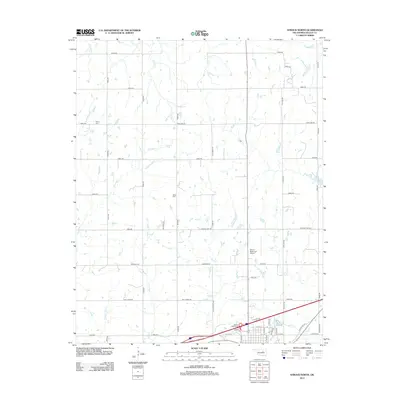
2012 Map of Stroud North
USGS Topo · Published 2012About this map
Turkey Cr and Euchee Cr wind through the rural landscape north of Stroud, defining a terrain shaped by numerous small tributaries and creek basins. This 2012 survey illustrates the transition from open agricultural and ranch land to the northern edge of the township, where modern infrastructure like the Stroud Municipal Airport and the Stroud Interchange meet the established section lines. Local history is anchored by the Henry Cem and Black Cem, which serve as permanent markers of early settlement families in Lincoln County. The map also highlights significant water management features, including Stroud Lake and the Stroud Sewage Lagoon, showing how the community utilized the drainages of Salt Creek and Lilly Creek for utility and recreation.
Find a feature on this map
53 named features on this map. Tap any name to fly to it.
Don’t see what you’re looking for? This feature index may not catch every label — zoom into the map to look around manually.
Map Details
Editions of this 2012 Stroud North Map
This is the sole edition of this map. No revisions or reprints were ever made.
Other maps of this area

1905 · Chandler
USGS Topo · 1:62,500

1907 · Chandler
USGS Topo · 1:62,500

1908 · Agra
USGS Topo · 1:62,500

1929 · Stroud
USGS Topo · 1:62,500

1931 · Drumright
USGS Topo · 1:62,500

1932 · Stroud
USGS Topo · 1:62,500

1954 · Oklahoma City
USGS Topo · 1:250,000

1957 · Oklahoma City
USGS Topo · 1:250,000

1963 · Oklahoma City
USGS Topo · 1:250,000
1974 · Davenport
USGS Topo · 1:24,000