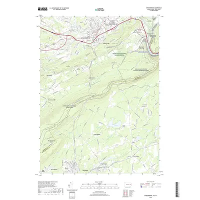
2019 Map of Stroudsburg
USGS Topo · Published 2019About this map
Stroudsburg and East Stroudsburg serve as the primary hubs in this region of the Pocono Mountains, where the historic Monroe County Courthouse and East Stroudsburg University of Pennsylvania anchor the urban centers. The landscape is defined by the dramatic geology of the Delaware Water Gap and the prominent ridges of Kittatinny Mtn, which frame the agricultural and ecological preserve of the Cherry Valley National Wildlife Refuge.
Find a feature on this map
81 named features on this map. Tap any name to fly to it.
Don’t see what you’re looking for? This feature index may not catch every label — zoom into the map to look around manually.
Map Details
Editions of this 2019 Stroudsburg Map
This is the sole edition of this map. No revisions or reprints were ever made.
Other maps of this area

1891 · Delaware Water Gap
USGS Topo · 1:62,500

1893 · Delaware Water Gap
USGS Topo · 1:62,500

1914 · Wind Gap
USGS Topo · 1:62,500

1916 · Wind Gap
USGS Topo · 1:62,500

1919 · Pocono
USGS Topo · 1:62,500

1921 · Pocono
USGS Topo · 1:62,500

1923 · Pocono
USGS Topo · 1:62,500

1924 · Bushkill
USGS Topo · 1:48,000

1936 · Delaware Water Gap
USGS Topo · 1:48,000

1941 · Delaware Water Gap
USGS Topo · 1:62,500