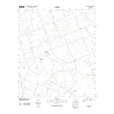
2010 Map of Structure
USGS Topo · Published 2010About this map
Structure and the surrounding Williamson County countryside are defined by a network of drainage basins and farm-to-market roads in the early twenty-first century. This landscape is characterized by its agricultural character and water management, featuring significant infrastructure such as the Soil Conservation Service Site 12 Dam and Soil Conservation Service Site 13 Dam. These structures help manage the many local waterways, including Brushy Creek, Middle Yegua Creek, and Little Sandy Creek, which cross the terrain between small rural clusters. Local history is anchored by sites like Mager Cemetery and Lawhon Springs Cemetery, while the presence of the Chan-C Airport and Sundbeck Ranch Airport highlights the use of private airstrips in this part of Central Texas. Smaller named areas like Siloam, Type, and Barton Field offer points of interest for those tracing family roots or local land use patterns in this rural interior.
Find a feature on this map
51 named features on this map. Tap any name to fly to it.
Don’t see what you’re looking for? This feature index may not catch every label — zoom into the map to look around manually.
Map Details
Editions of this 2010 Structure Map
This is the sole edition of this map. No revisions or reprints were ever made.
Other maps of this area

1885 · Taylor
USGS Topo · 1:125,000

1885 · Bastrop
USGS Topo · 1:125,000

1887 · Taylor
USGS Topo · 1:125,000

1893 · Bastrop
USGS Topo · 1:125,000

1894 · Taylor
USGS Topo · 1:125,000

1904 · Bastrop
USGS Topo · 1:125,000

1948 · Elgin
USGS Topo · 1:62,500

1948 · Lexington
USGS Topo · 1:62,500

1950 · Lexington
USGS Topo · 1:62,500

1950 · Elgin
USGS Topo · 1:62,500