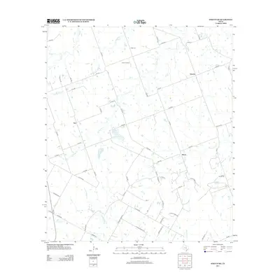
2013 Map of Structure
USGS Topo · Published 2013About this map
Lawhon Springs and the surrounding rural landscape in Williamson County are defined by an intricate network of creeks that feed into the larger Brazos and Colorado River watersheds. In this part of Central Texas, small farming communities like Structure and Type are linked by a grid of county roads, such as N Coline Rd and Roemer Rd, which follow the section lines of the early surveying system.
Find a feature on this map
62 named features on this map. Tap any name to fly to it.
Don’t see what you’re looking for? This feature index may not catch every label — zoom into the map to look around manually.
Map Details
Editions of this 2013 Structure Map
This is the sole edition of this map. No revisions or reprints were ever made.
Other maps of this area

1885 · Taylor
USGS Topo · 1:125,000

1885 · Bastrop
USGS Topo · 1:125,000

1887 · Taylor
USGS Topo · 1:125,000

1893 · Bastrop
USGS Topo · 1:125,000

1894 · Taylor
USGS Topo · 1:125,000

1904 · Bastrop
USGS Topo · 1:125,000

1948 · Elgin
USGS Topo · 1:62,500

1948 · Lexington
USGS Topo · 1:62,500

1950 · Lexington
USGS Topo · 1:62,500

1950 · Elgin
USGS Topo · 1:62,500