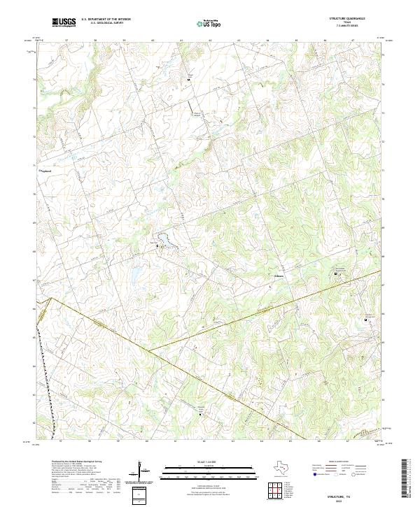
2022 Map of Structure
USGS Topo · Published 2022About this map
Coupland sits at the northwestern edge of this landscape where the Texas blackland prairies meet the drainage basins of several prominent local creeks. The area is defined by its rural road network, with routes like Co RD 463 and FM 1466 threading through agricultural land. The map traces the intricate hydrography of the region, including the headwaters of the Middle Yegua Cr and the winding course of Little Dry Brushy Cr.
Find a feature on this map
67 named features on this map. Tap any name to fly to it.
Don’t see what you’re looking for? This feature index may not catch every label — zoom into the map to look around manually.
Map Details
Editions of this 2022 Structure Map
This is the sole edition of this map. No revisions or reprints were ever made.
Other maps of this area

1885 · Taylor
USGS Topo · 1:125,000

1885 · Bastrop
USGS Topo · 1:125,000

1887 · Taylor
USGS Topo · 1:125,000

1893 · Bastrop
USGS Topo · 1:125,000

1894 · Taylor
USGS Topo · 1:125,000

1904 · Bastrop
USGS Topo · 1:125,000

1948 · Elgin
USGS Topo · 1:62,500

1948 · Lexington
USGS Topo · 1:62,500

1950 · Lexington
USGS Topo · 1:62,500

1950 · Elgin
USGS Topo · 1:62,500