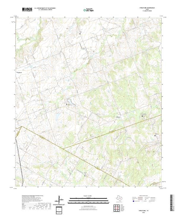
2022 Map of Structure
USGS Topo · Published 2022This historical map portrays the area of Structure in 2022, primarily covering Williamson County as well as portions of Travis County, Bastrop County, and Lee County. Featuring a scale of 1:24000, this map provides a highly detailed snapshot of the terrain, roads, buildings, counties, and historical landmarks in the Structure region at the time. Published in 2022, it is the sole known edition of this map.
Map Details
Editions of this 2022 Structure Map
This is the sole edition of this map. No revisions or reprints were ever made.
Historical Maps of Structure Through Time
10 maps found
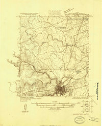
1925 Georgetown 4-b
Williamson County, TX
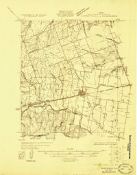
1925 Georgetown 4-d
Williamson County, TX
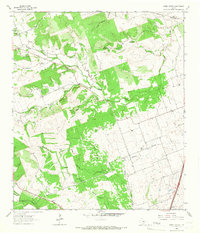
1962 Leander NE
Williamson County, TX
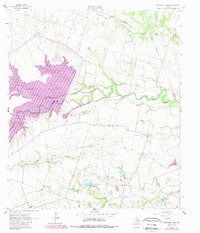
1963 Granger Lake
Williamson County, TX
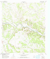
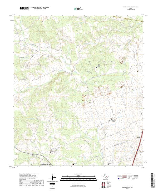
1964 Cobbs Cavern
Williamson County, TX
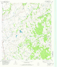
1982 Structure
Williamson County, TX
2022 Cobbs Cavern
Williamson County, TX
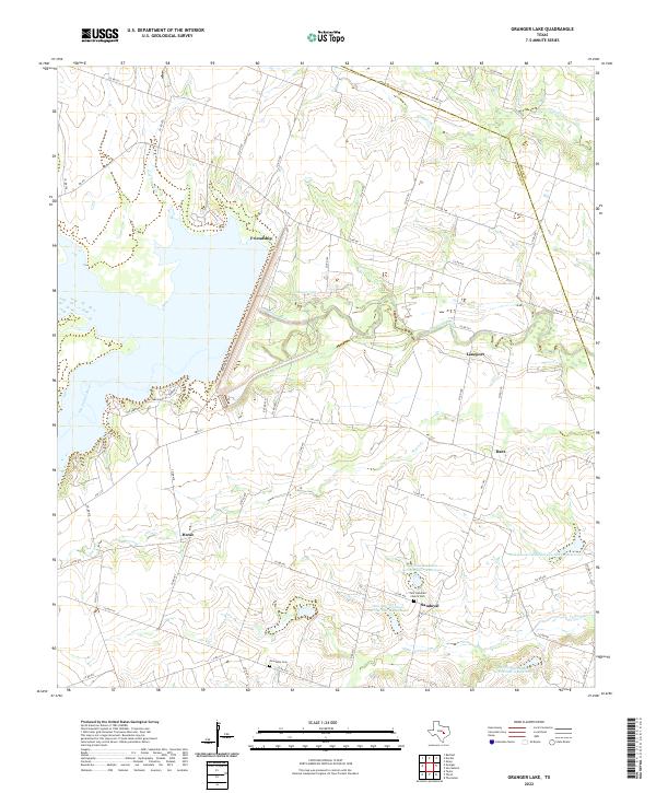
2022 Granger Lake
Williamson County, TX
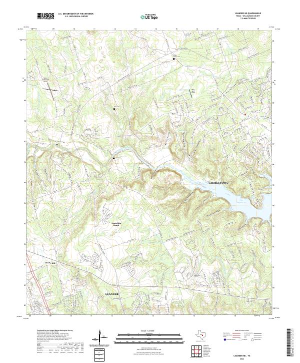
2022 Leander NE
Williamson County, TX
2022 Structure
Williamson County, TX