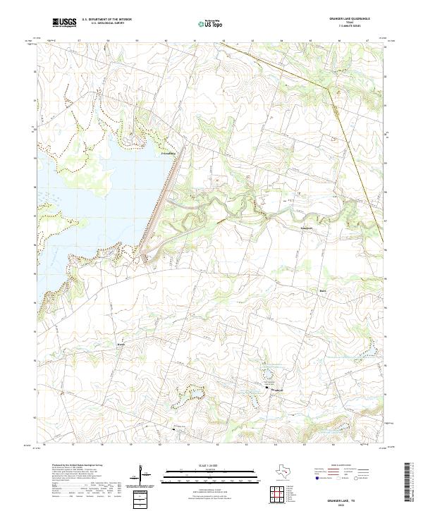
2022 Map of Granger Lake
USGS Topo · Published 2022About this map
Granger Lake and the San Gabriel River corridor anchor this portion of the Texas Blackland Prairies, where a network of rural settlements once flourished. The map details small communities such as Friendship, Laneport, Hoxie, and Sandoval, reflecting the area's agricultural foundations. The landscape is defined by its water management, featuring numerous catchments like Soil Conservation Service Site 10 Reservoir alongside natural drainage via Pecan Cr and Turkey Cr. Local heritage is preserved at the Zion Lutheran Church Cem and the New Bern Cem, which serve as quiet markers of the region's historical German and Czech settlement patterns. The boundary between Williamson Co and Milam Co cuts across the northeast, near the headwaters of Alligator Cr.
Find a feature on this map
60 named features on this map. Tap any name to fly to it.
Don’t see what you’re looking for? This feature index may not catch every label — zoom into the map to look around manually.
Map Details
Editions of this 2022 Granger Lake Map
This is the sole edition of this map. No revisions or reprints were ever made.
Other maps of this area

1885 · Taylor
USGS Topo · 1:125,000

1887 · Taylor
USGS Topo · 1:125,000

1894 · Taylor
USGS Topo · 1:125,000

1910 · Buckholts
USGS Topo · 1:24,000

1912 · Buckholts
USGS Topo · 1:31,680

1954 · Austin
USGS Topo · 1:250,000
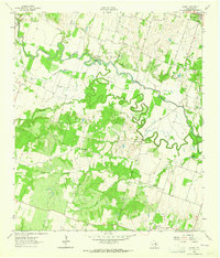
1963 · Sharp
USGS Topo · 1:24,000

1963 · Friendship
USGS Topo · 1:24,000
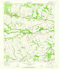
1963 · San Gabriel
USGS Topo · 1:24,000
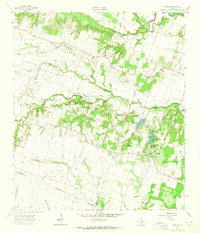
1963 · Davilla
USGS Topo · 1:24,000