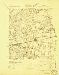
1925 Map of Georgetown 4-d
USGS Topo · Published 1925About this map
Hutto serves as the central hub of this agricultural landscape in the mid-1920s, situated at the junction of several regional thoroughfares including the Round Rock and International Great Northern Road. The terrain is defined by the dendritic drainage patterns of the Mustang Creek system to the north and Brushy Creek to the south. Small rural landmarks provide vital context for family historians, from the local education site at Stony Point School to the community gathering points at Bell Gin and Normans Store.
Find a feature on this map
19 named features on this map. Tap any name to fly to it.
Don’t see what you’re looking for? This feature index may not catch every label — zoom into the map to look around manually.
Map Details
Editions of this 1925 Georgetown 4-d Map
This is the sole edition of this map. No revisions or reprints were ever made.
Historical Maps of Round Rock Through Time
26 maps found
1925 Georgetown 4-b
Williamson County, TX
1925 Georgetown 4-d
Williamson County, TX
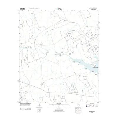
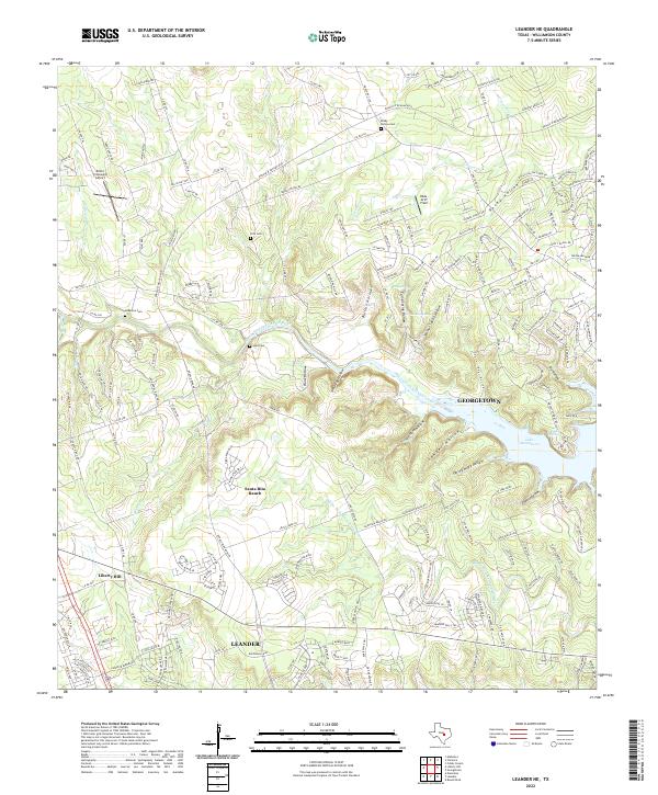
1962 Leander NE
Williamson County, TX
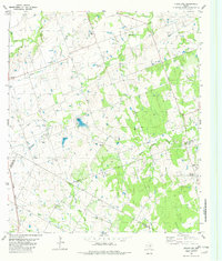
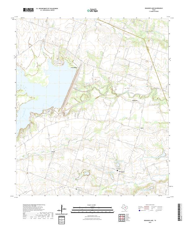
1963 Granger Lake
Williamson County, TX
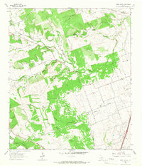
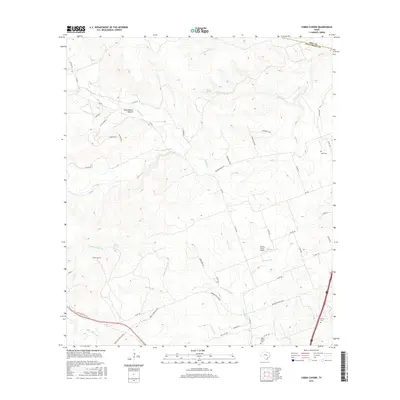
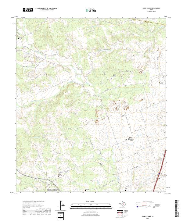
1964 Cobbs Cavern
Williamson County, TX
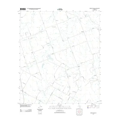
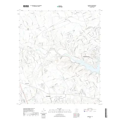
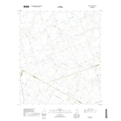
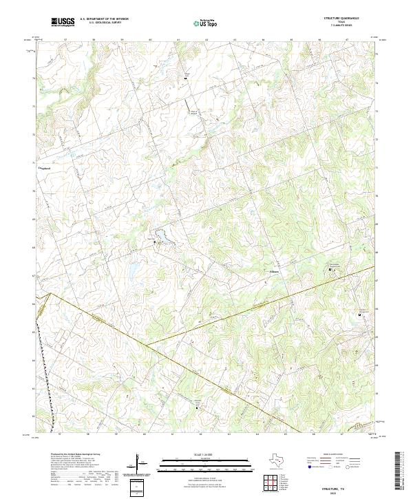
1982 Structure
Williamson County, TX
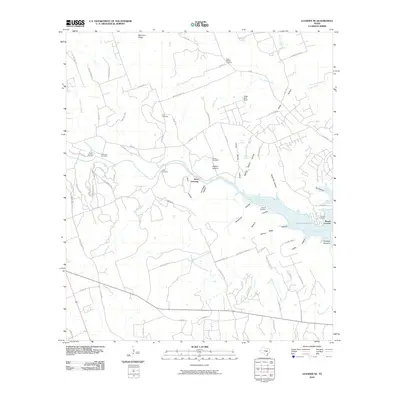
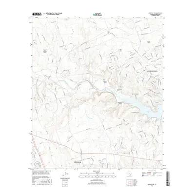
2010 Cobbs Cavern
Williamson County, TX
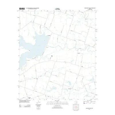
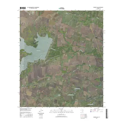
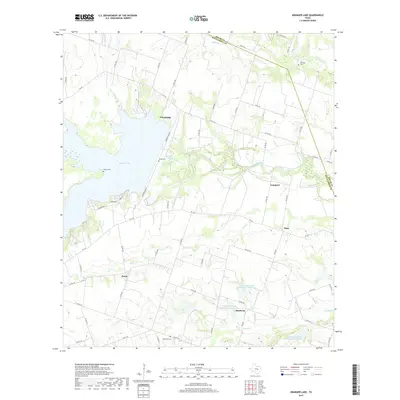
2010 Granger Lake
Williamson County, TX
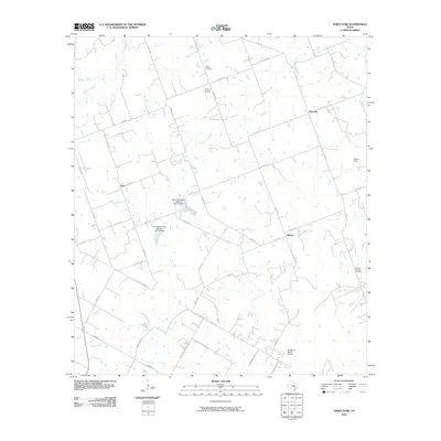
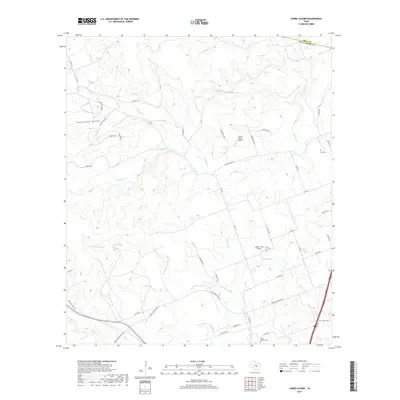
2010 Leander NE
Williamson County, TX
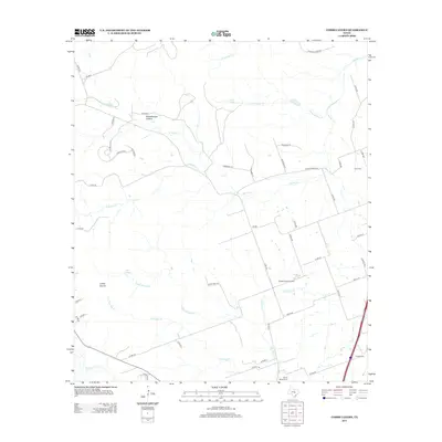
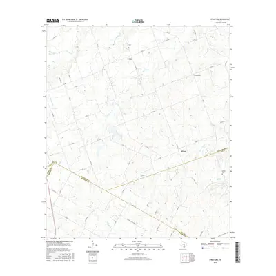
2010 Structure
Williamson County, TX
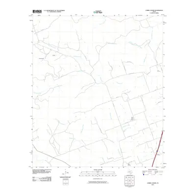
2013 Cobbs Cavern
Williamson County, TX
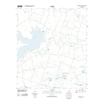
2013 Granger Lake
Williamson County, TX
2013 Leander NE
Williamson County, TX
2013 Structure
Williamson County, TX
2016 Cobbs Cavern
Williamson County, TX
2016 Granger Lake
Williamson County, TX
2016 Leander NE
Williamson County, TX
2016 Structure
Williamson County, TX
2019 Cobbs Cavern
Williamson County, TX
2019 Granger Lake
Williamson County, TX
2019 Leander NE
Williamson County, TX
2019 Structure
Williamson County, TX
2022 Cobbs Cavern
Williamson County, TX
2022 Granger Lake
Williamson County, TX
2022 Leander NE
Williamson County, TX
2022 Structure
Williamson County, TX