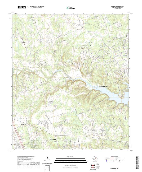
2022 Map of Leander NE
USGS Topo · Published 2022About this map
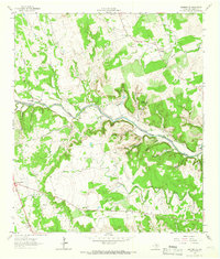
The North Fork San Gabriel River and Middle Fork San Gabriel River converge as they flow into Lake Georgetown, carving a landscape of winding draws and hollows through Williamson County. This modern survey illustrates the intensifying residential growth of Leander and Georgetown as new developments like Santa Rita Ranch expand across the plateau. Despite the rapid suburbanization, the map preserves the locations of established family landmarks and rural resting places, including Rocky Hollow Cem, Anderson Cem, and Hunt Cem. The terrain remains defined by its limestone hydrology, evidenced by features such as Big Valley Spr, Knight Spring, and Walnut Spring. Small-scale aviation history is also represented by private airstrips like Britts Crosswind Airport and Hilde-Griff Field, which sit between the traditional ranch lands and the encroaching city limits.
Find a feature on this map
205 named features on this map. Tap any name to fly to it.
Don’t see what you’re looking for? This feature index may not catch every label — zoom into the map to look around manually.
Map Details
Editions of this 2022 Leander NE Map
This is the sole edition of this map. No revisions or reprints were ever made.
Other maps of this area

1893 · Georgetown
USGS Topo · 1:125,000

1925 · Georgetown 4-b
USGS Topo · 1:48,000

1928 · Round Rock
USGS Topo · 1:62,500

1949 · Round Rock
USGS Topo · 1:62,500

1951 · Round Rock
USGS Topo · 1:62,500

1954 · Austin
USGS Topo · 1:250,000
1962 · Liberty Hill
USGS Topo · 1:24,000
1962 · Leander
USGS Topo · 1:24,000
1962 · Nameless
USGS Topo · 1:24,000
1962 · Leander NE
USGS Topo · 1:24,000