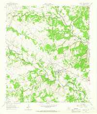
1962 Map of Liberty Hill
USGS Topo · Published 1966About this map
Liberty Hill serves as the central hub of this Central Texas landscape, where the Southern Pacific railroad cuts through the terrain. The mapping reveals a distinct agricultural and rural pattern, punctuated by local landmarks like the High Sch and the Church of Christ. Water management and local industry are evident through the Martha Chapman Dam and numerous Gravel Pits scattered near the riverbanks.
Find a feature on this map
31 named features on this map. Tap any name to fly to it.
Don’t see what you’re looking for? This feature index may not catch every label — zoom into the map to look around manually.
Map Details
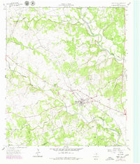
Editions of this 1962 Liberty Hill Map
2 editions found
Other maps of this area

1887 · Burnet
USGS Topo · 1:125,000

1893 · Georgetown
USGS Topo · 1:125,000

1893 · Burnet
USGS Topo · 1:125,000

1903 · Burnet
USGS Topo · 1:125,000

1909 · Burnet
USGS Topo · 1:125,000

1932 · Bertram
USGS Topo · 1:62,500

1954 · Llano
USGS Topo · 1:250,000

1954 · Austin
USGS Topo · 1:250,000

1955 · Llano
USGS Topo · 1:250,000

1956 · Llano
USGS Topo · 1:250,000