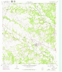
1962 Map of Liberty Hill
USGS Topo · Published 1979About this map
Liberty Hill sits at the heart of this central Texas landscape, positioned where the Southern Pacific railroad cuts across the divides between the forks of the San Gabriel River. The map captures a transition in rural life during the 1960s and 1970s, documented by the proximity of established community anchors like the Church of Christ and the High Sch to the numerous Gravel Pits that suggest a growing local extraction industry. Water management and family heritage are central themes, evidenced by the Martha Chapman Dam and small, localized burial grounds including Bear Creek Cem and the Cementerio de las Tres Marias. The terrain is defined by its drainage into the North Fork San Gabriel River and its southern counterpart, while the convergence of roads at Seward Junction marks a key transportation node on the eastern edge of the survey.
Find a feature on this map
30 named features on this map. Tap any name to fly to it.
Don’t see what you’re looking for? This feature index may not catch every label — zoom into the map to look around manually.
Map Details
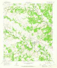
Editions of this 1962 Liberty Hill Map
2 editions found
Other maps of this area

1887 · Burnet
USGS Topo · 1:125,000

1893 · Georgetown
USGS Topo · 1:125,000

1893 · Burnet
USGS Topo · 1:125,000

1903 · Burnet
USGS Topo · 1:125,000

1909 · Burnet
USGS Topo · 1:125,000

1932 · Bertram
USGS Topo · 1:62,500

1954 · Llano
USGS Topo · 1:250,000

1954 · Austin
USGS Topo · 1:250,000

1955 · Llano
USGS Topo · 1:250,000

1956 · Llano
USGS Topo · 1:250,000