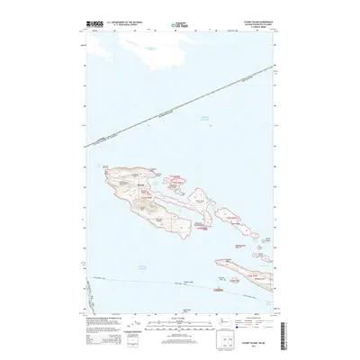
2014 Map of Stuart Island
USGS Topo · Published 2014About this map
Stuart Island and the surrounding northern reaches of the San Juan Islands are defined by a complex maritime geography where the Canada-United States of America border cuts through the Haro Strait and Puget Sound. The island's development is centered around the settlement of Prevost, flanked by two significant natural anchorages at Prevost Harbor and Reid Harbor. Transport to this isolated archipelago is supported by the Stuart Island West Airport and Stuart Island Airpark, alongside the historic Turn Point Lighthouse which guards the northwestern tip of the island.
Find a feature on this map
42 named features on this map. Tap any name to fly to it.
Don’t see what you’re looking for? This feature index may not catch every label — zoom into the map to look around manually.
Map Details
Editions of this 2014 Stuart Island Map
This is the sole edition of this map. No revisions or reprints were ever made.
Other maps of this area

1953 · Stuart Island
USGS Topo · 1:24,000

1954 · Roche Harbor
USGS Topo · 1:24,000

1954 · Waldron Island
USGS Topo · 1:24,000

1954 · Friday Harbor
USGS Topo · 1:24,000

1957 · Victoria
USGS Topo · 1:250,000
1981 · Roche Harbor
USGS Topo · 1:100,000
1997 · Waldron Island
USGS Topo · 1:24,000
2011 · Friday Harbor
USGS Topo · 1:24,000
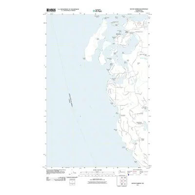
2011 · Roche Harbor
USGS Topo · 1:24,000
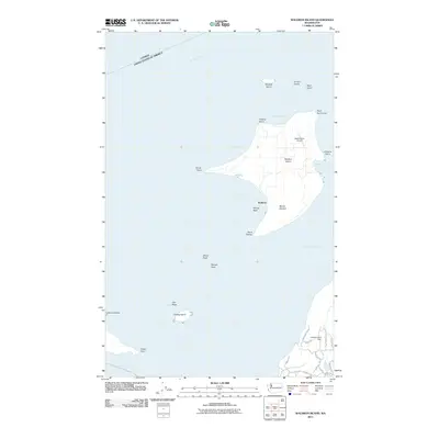
2011 · Waldron Island
USGS Topo · 1:24,000