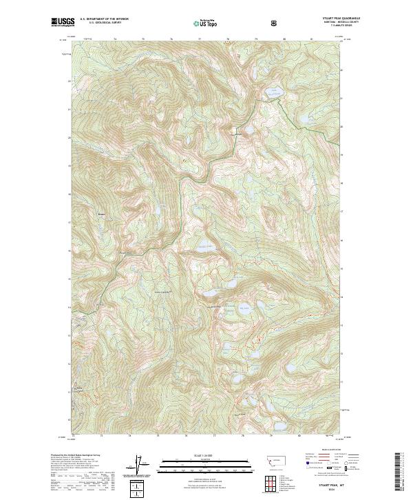
2024 Map of Stuart Peak
USGS Topo · Published 2024About this map
The high alpine environment north of Missoula is dominated by the Rattlesnake National Recreation Area and the Lolo Wilderness. This landscape is defined by its dramatic verticality, rising from the settlement of Evaro to the prominent summits of McLeod Peak and Stuart Peak. The map reveals a complex network of high-elevation water bodies, including Lake Sa-ol-Sooth, Glacier Lake, and McKinley Lake, many of which feed into the Rattlesnake Creek and Grant Creek drainages. A notable concentration of recreational infrastructure is found at the Missoula Snow Bowl, accessible via Snow Bowl Rd. The intricate trail system, including the Stuart Peak Trl and Worden Lake Trl, highlights how the region has been managed for both conservation and public access within the Lolo National Forest.
Find a feature on this map
53 named features on this map. Tap any name to fly to it.
Don’t see what you’re looking for? This feature index may not catch every label — zoom into the map to look around manually.
Map Details
Editions of this 2024 Stuart Peak Map
This is the sole edition of this map. No revisions or reprints were ever made.
Other maps of this area

1903 · Bonner
USGS Topo · 1:125,000

1912 · Missoula
USGS Topo · 1:125,000

1921 · Elbow Lake
USGS Topo · 1:125,000

1947 · Butte
USGS Topo · 1:250,000

1955 · Choteau
USGS Topo · 1:250,000

1956 · Wallace
USGS Topo · 1:250,000

1956 · Hamilton
USGS Topo · 1:250,000

1957 · Choteau
USGS Topo · 1:250,000

1958 · Butte
USGS Topo · 1:250,000

1958 · Choteau
USGS Topo · 1:250,000