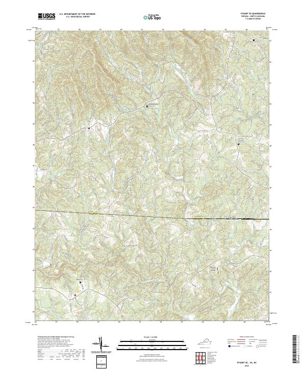
2022 Map of Stuart SE
USGS Topo · Published 2022About this map
The Dan River and its numerous tributaries, including the Little Dan River and Browns Dan River, carve through the landscape of the Virginia-North Carolina borderlands. This 2022 survey captures a rural terrain defined by small family cemeteries and remote country churches, such as the Creaseys Chapel United Methodist Church and the Five Forks Wesleyan Church. The presence of the Heavenly Acres Airport provides a distinct modern landmark amidst the traditional network of mountain roads like Carter Mtn Rd and Russell Creek Rd. Genealogists may find value in the location of the Beasley Cem and Wayside Cem, which reflect the long-standing settlement patterns of Patrick and Stokes counties. The intricate drainage network, including Peters Cr and Little Russell Cr, highlights the region's historical reliance on these waterways for early land division.
Find a feature on this map
112 named features on this map. Tap any name to fly to it.
Don’t see what you’re looking for? This feature index may not catch every label — zoom into the map to look around manually.
Map Details
Editions of this 2022 Stuart SE Map
This is the sole edition of this map. No revisions or reprints were ever made.
Other maps of this area

1926 · Critz
USGS Topo · 1:48,000

1928 · Stuart
USGS Topo · 1:48,000

1928 · Critz
USGS Topo · 1:62,500

1931 · Stuart
USGS Topo · 1:62,500

1953 · Winston-Salem
USGS Topo · 1:250,000

1955 · Winston-Salem
USGS Topo · 1:250,000

1962 · Winston-Salem
USGS Topo · 1:250,000

1964 · Hanging Rock
USGS Topo · 1:24,000

1964 · Pilot Mountain
USGS Topo · 1:24,000

1967 · Patrick Springs
USGS Topo · 1:24,000