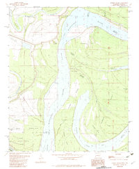
1982 Map of Stubbs Island
USGS Topo · Published 1982About this map
The Mississippi River creates a complex landscape of shifting banks and abandoned channels along the border of Arkansas and Mississippi. This 1982 provisional survey documents a section of the river defined by massive landforms like Stubbs Island and Bordeaux Point, where the river's historical movement is visible in features such as the Hardin Cut-off. The presence of the Whitehall Crevasse indicates the ongoing struggle with flood control and river engineering in this alluvial reach.
Find a feature on this map
36 named features on this map. Tap any name to fly to it.
Don’t see what you’re looking for? This feature index may not catch every label — zoom into the map to look around manually.
Map Details
Editions of this 1982 Stubbs Island Map
2 editions found
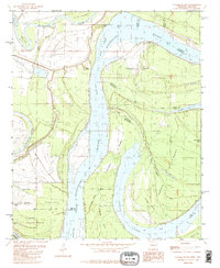
Other maps of this area

1908 · Dundee
USGS Topo · 1:24,000

1910 · Dundee
USGS Topo · 1:31,680

1931 · Horseshoe Lake
USGS Topo · 1:62,500

1939 · Clayton
USGS Topo · 1:62,500

1939 · Horseshoe Lake
USGS Topo · 1:62,500

1939 · Park Place
USGS Topo · 1:62,500

1939 · Latour
USGS Topo · 1:62,500

1948 · Helena
USGS Topo · 1:250,000

1950 · Helena
USGS Topo · 1:250,000

1954 · Horseshoe Lake
USGS Topo · 1:62,500
Featured Places
- Harbert Landing, MS
- Saint Francis Island Landing, AR
- Phillips County, AR
- Tunica County, MS
- Lee County, AR