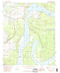
1982 Map of Stubbs Island
USGS Topo · Published 1982About this map
The Mississippi River defines the shifting boundary between Arkansas and Mississippi in this early 1980s survey, a landscape of oxbows and river islands. The volatile nature of the river is evident in the presence of the Hardin Cut-off and the Kate Adams Chute, which separate large landmasses like Stubbs Island from the mainland. To the west, the St Francis River meanders through Lee and Phillips counties, creating a network of backwater lakes including Laddie Lake, Brushy Lake, and Gober Lake.
Find a feature on this map
35 named features on this map. Tap any name to fly to it.
Don’t see what you’re looking for? This feature index may not catch every label — zoom into the map to look around manually.
Map Details
Editions of this 1982 Stubbs Island Map
2 editions found
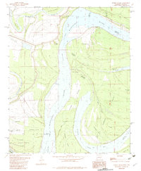
Other maps of this area

1908 · Dundee
USGS Topo · 1:24,000

1910 · Dundee
USGS Topo · 1:31,680

1931 · Horseshoe Lake
USGS Topo · 1:62,500

1939 · Clayton
USGS Topo · 1:62,500

1939 · Horseshoe Lake
USGS Topo · 1:62,500

1939 · Park Place
USGS Topo · 1:62,500

1939 · Latour
USGS Topo · 1:62,500

1948 · Helena
USGS Topo · 1:250,000

1950 · Helena
USGS Topo · 1:250,000

1954 · Horseshoe Lake
USGS Topo · 1:62,500
Featured Places
- Harbert Landing, MS
- Saint Francis Island Landing, AR
- Phillips County, AR
- Tunica County, MS
- Lee County, AR