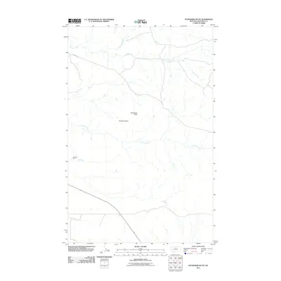
2011 Map of Studhorse Butte
USGS Topo · Published 2011About this map
Studhorse Butte and Rattlesnake Butte dominate this part of Chouteau County, where the landscape is defined by the winding drainages of the Missouri River watershed. The terrain is marked by a network of seasonal and perennial waterways, most notably the meandering paths of Big Sandy Creek and Little Sandy Creek. Human infrastructure is sparse in this open country, primarily represented by Warrick Rd cutting across the northern reaches and the presence of Maxwell Dam. The distribution of these water sources and the named buttes suggests a ranching environment where topographic landmarks and water management are vital for navigating and utilizing the high plains. Small tributaries like Godfrey Creek and Scottish Creek further illustrate the complex drainage patterns typical of this Montana region.
Find a feature on this map
8 named features on this map. Tap any name to fly to it.
Don’t see what you’re looking for? This feature index may not catch every label — zoom into the map to look around manually.
Map Details
Editions of this 2011 Studhorse Butte Map
This is the sole edition of this map. No revisions or reprints were ever made.
Other maps of this area
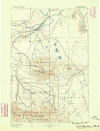
1890 · Fort Benton
USGS Topo · 1:250,000
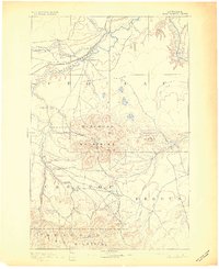
1892 · Fort Benton
USGS Topo · 1:250,000
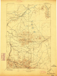
1897 · Fort Benton
USGS Topo · 1:250,000
1919 · Big Sandy
USGS Topo · 1:125,000
1953 · Lonetree Coulee
USGS Topo · 1:24,000
1953 · Pilot Rock
USGS Topo · 1:24,000

1953 · Havre
USGS Topo · 1:250,000

1954 · Great Falls
USGS Topo · 1:250,000
1954 · Shelby
USGS Topo · 1:250,000

1954 · Lewistown
USGS Topo · 1:250,000