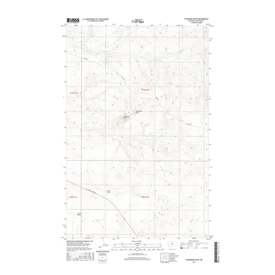
2017 Map of Studhorse Butte
USGS Topo · Published 2017About this map
Studhorse Butte and the adjacent Rattlesnake Butte rise from the high plains of Chouteau County, anchoring a landscape shaped by intermittent watercourses and expansive ranching territory. This 2017 survey shows a land defined by its drainage patterns, where Big Sandy Cr and Little Sandy Cr cut through the terrain alongside named coulees like Alkali Coulee and Lonetree Coulee. The map illustrates the practical infrastructure of the modern West, centered on the transit corridors of Warrick Rd and Judith Landing Rd. These routes provide the primary access through the sections of T26N and T27N, connecting the remote drainage basins of Godfrey Cr and Scottish Cr to the larger region. The absence of dense settlement highlights the area's continued use as open range and agricultural land, where topographic features serve as the primary landmarks for navigation and land management.
Find a feature on this map
14 named features on this map. Tap any name to fly to it.
Don’t see what you’re looking for? This feature index may not catch every label — zoom into the map to look around manually.
Map Details
Editions of this 2017 Studhorse Butte Map
This is the sole edition of this map. No revisions or reprints were ever made.
Other maps of this area
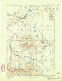
1890 · Fort Benton
USGS Topo · 1:250,000
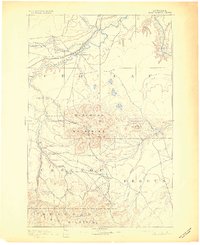
1892 · Fort Benton
USGS Topo · 1:250,000
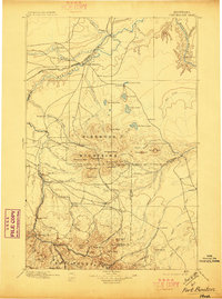
1897 · Fort Benton
USGS Topo · 1:250,000
1919 · Big Sandy
USGS Topo · 1:125,000
1953 · Lonetree Coulee
USGS Topo · 1:24,000
1953 · Pilot Rock
USGS Topo · 1:24,000

1953 · Havre
USGS Topo · 1:250,000

1954 · Great Falls
USGS Topo · 1:250,000
1954 · Shelby
USGS Topo · 1:250,000

1954 · Lewistown
USGS Topo · 1:250,000