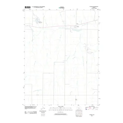
2009 Map of Studley
USGS Topo · Published 2009About this map
Studley sits along the northern edge of this Sheridan County landscape, positioned where the high plains begin their descent toward the winding South Fork Solomon River. The area's hydrology is complex, defined by a network of drainage systems including Museum Creek, Storer Creek, and Rock Creek, which all contribute to the larger Solomon River watershed. To the northwest, the Sheridan County State Lake Dam represents a significant modification to the local water table, creating a reservoir near the North Fork Solomon River.
Find a feature on this map
19 named features on this map. Tap any name to fly to it.
Don’t see what you’re looking for? This feature index may not catch every label — zoom into the map to look around manually.
Map Details
Editions of this 2009 Studley Map
This is the sole edition of this map. No revisions or reprints were ever made.
Other maps of this area

1954 · Goodland
USGS Topo · 1:250,000

1956 · Goodland
USGS Topo · 1:250,000

1957 · Goodland
USGS Topo · 1:250,000

1979 · Lucerne
USGS Topo · 1:24,000

1979 · Midway Draw East
USGS Topo · 1:24,000

1979 · Morland
USGS Topo · 1:24,000

1979 · Hoxie NE
USGS Topo · 1:24,000

1979 · Tasco
USGS Topo · 1:24,000

1979 · St Peter
USGS Topo · 1:24,000

1979 · Studley
USGS Topo · 1:24,000