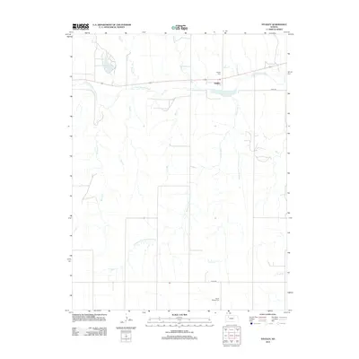
2012 Map of Studley
USGS Topo · Published 2012About this map
Studley serves as the central hub of this western Kansas landscape, positioned along the banks of the S Fork Solomon River. The area is defined by its agricultural layout and the drainage patterns of numerous local waterways, including Museum Cr, Storer Cr, and Foster Cr. A notable landmark in the northwest is the Sheridan County State Lake, which provides a distinct contrast to the surrounding section lines and dry-land farming patterns. Genealogists and local historians will find the locations of Studley Cem and Mount Pleasant Cem valuable for tracing regional family roots. The map also delineates several administrative and geographical boundaries, such as the Southwest Fork County Line Cr and Southeast Fork County Line Cr, which highlight how the natural drainage systems influence the historical division of the land.
Find a feature on this map
18 named features on this map. Tap any name to fly to it.
Don’t see what you’re looking for? This feature index may not catch every label — zoom into the map to look around manually.
Map Details
Editions of this 2012 Studley Map
This is the sole edition of this map. No revisions or reprints were ever made.
Other maps of this area

1954 · Goodland
USGS Topo · 1:250,000

1956 · Goodland
USGS Topo · 1:250,000

1957 · Goodland
USGS Topo · 1:250,000

1979 · Lucerne
USGS Topo · 1:24,000

1979 · Midway Draw East
USGS Topo · 1:24,000

1979 · Morland
USGS Topo · 1:24,000

1979 · Hoxie NE
USGS Topo · 1:24,000

1979 · Tasco
USGS Topo · 1:24,000

1979 · St Peter
USGS Topo · 1:24,000

1979 · Studley
USGS Topo · 1:24,000