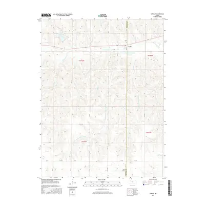
2015 Map of Studley
USGS Topo · Published 2015About this map
The S Fork Solomon River valley defines the northern landscape of this Sheridan and Graham County border region. This 2015 survey reveals the small settlement of Studley situated on the northern bank of the river, where rural routes like RD 105 and River RD converge. The topography is characterized by a complex network of drainage systems, including Foster Cr and Keys Cr, which feed into the primary river channel from the north and south.
Find a feature on this map
30 named features on this map. Tap any name to fly to it.
Don’t see what you’re looking for? This feature index may not catch every label — zoom into the map to look around manually.
Map Details
Editions of this 2015 Studley Map
This is the sole edition of this map. No revisions or reprints were ever made.
Other maps of this area

1954 · Goodland
USGS Topo · 1:250,000

1956 · Goodland
USGS Topo · 1:250,000

1957 · Goodland
USGS Topo · 1:250,000

1979 · Lucerne
USGS Topo · 1:24,000

1979 · Midway Draw East
USGS Topo · 1:24,000

1979 · Morland
USGS Topo · 1:24,000

1979 · Hoxie NE
USGS Topo · 1:24,000

1979 · Tasco
USGS Topo · 1:24,000

1979 · St Peter
USGS Topo · 1:24,000

1979 · Studley
USGS Topo · 1:24,000