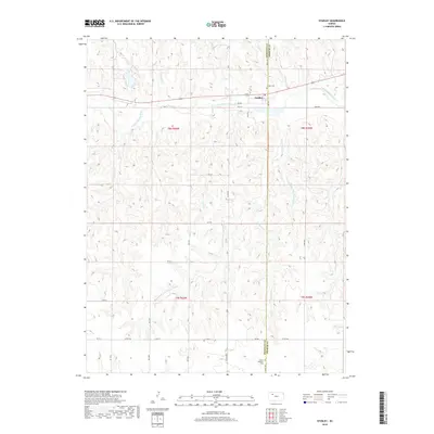
2018 Map of Studley
USGS Topo · Published 2018About this map
The S Fork Solomon River defines the upper portion of this Sheridan County landscape, where the settlement of Studley sits along the northern banks. This 2018 survey illustrates a highly dissected prairie terrain, marked by a complex network of drainage channels including Keys Cr, Stoney Cr, and the oddly named Museum Cr. The county line between Sheridan and Graham is clearly delineated, passing through the eastern edge of the quadrangle near the Studley Cem. Further south, the rural character of the region is emphasized by the presence of the Mount Pleasant Cem and the convergence of several fork-named waterways like Southwest Fork County Line Cr and Center Fork. The map provides a precise look at the section lines and rural road grids, such as River Rd and Co Rd 406, that organize the agricultural space of western Kansas.
Find a feature on this map
31 named features on this map. Tap any name to fly to it.
Don’t see what you’re looking for? This feature index may not catch every label — zoom into the map to look around manually.
Map Details
Editions of this 2018 Studley Map
This is the sole edition of this map. No revisions or reprints were ever made.
Other maps of this area

1954 · Goodland
USGS Topo · 1:250,000

1956 · Goodland
USGS Topo · 1:250,000

1957 · Goodland
USGS Topo · 1:250,000
1979 · Lucerne
USGS Topo · 1:24,000
1979 · Midway Draw East
USGS Topo · 1:24,000
1979 · Morland
USGS Topo · 1:24,000
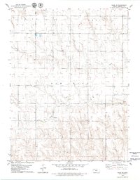
1979 · Hoxie NE
USGS Topo · 1:24,000
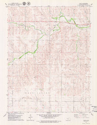
1979 · Tasco
USGS Topo · 1:24,000
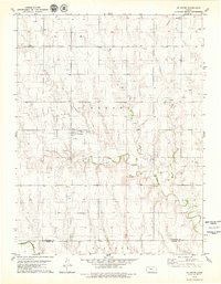
1979 · St Peter
USGS Topo · 1:24,000
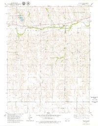
1979 · Studley
USGS Topo · 1:24,000