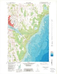
1981 Map of Sturgeon Bay East
USGS Topo · Published 1989About this map
Sturgeon Bay serves as a vital maritime gateway in this early 1980s bathymetric and topographic survey, where the Sturgeon Bay Ship Canal bisects the Door Peninsula to connect the bay with Lake Michigan. The map details a sophisticated coastal infrastructure, featuring the U S Coast Guard Station and several aids to navigation alongside the deep-water canal. Inland, the landscape transition from the urban center of the county seat to the agricultural and recreational lands of Sevastopol and Clay Banks is evident. Local life is centered around established institutions like St Joseph Ch, St Joseph Sch, and the NE Wis Tech Inst. The presence of a Drive-in Theater and multiple Trailer Parks near Institute reflects the mid-century suburban and seasonal growth of the region, while the extensive Quarries and Gravel Pits north of Hornspur Road point to the area's extractive industry.
Find a feature on this map
42 named features on this map. Tap any name to fly to it.
Don’t see what you’re looking for? This feature index may not catch every label — zoom into the map to look around manually.
Map Details
Editions of this 1981 Sturgeon Bay East Map
2 editions found
Other maps of this area

1954 · Manitowoc
USGS Topo · 1:250,000

1958 · Manitowoc
USGS Topo · 1:250,000

1960 · Sturgeon Bay
USGS Topo · 1:62,500

1960 · Jacksonport
USGS Topo · 1:62,500

1960 · Algoma
USGS Topo · 1:62,500

1981 · Sturgeon Bay West
USGS Topo · 1:24,000

1981 · Institute
USGS Topo · 1:24,000
1981 · Idlewild
USGS Topo · 1:24,000
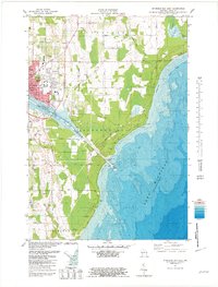
1981 · Sturgeon Bay East
USGS Topo · 1:24,000
1982 · Jacksonport
USGS Topo · 1:24,000