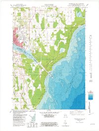
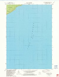
1981 Map of Sturgeon Bay East
USGS Topo · Published 1981About this map
The eastern portion of Sturgeon Bay and the surrounding townships of Sevastopol and Clay Banks define this Lake Michigan coastal landscape in the early 1980s. The city's growth is evident in the residential developments and institutional hubs such as the NE Wis Tech Inst and the Radio Tower (WDOR). A notable concentration of community landmarks appears north of the ship canal, including St Joseph Sch and the adjacent St Joseph Cem.
Find a feature on this map
51 named features on this map. Tap any name to fly to it.
Don’t see what you’re looking for? This feature index may not catch every label — zoom into the map to look around manually.
Map Details
Editions of this 1981 Sturgeon Bay East Map
2 editions found
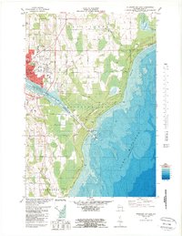
Other maps of this area

1954 · Manitowoc
USGS Topo · 1:250,000

1958 · Manitowoc
USGS Topo · 1:250,000

1960 · Sturgeon Bay
USGS Topo · 1:62,500

1960 · Jacksonport
USGS Topo · 1:62,500

1960 · Algoma
USGS Topo · 1:62,500

1981 · Sturgeon Bay West
USGS Topo · 1:24,000

1981 · Institute
USGS Topo · 1:24,000
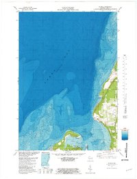
1981 · Idlewild
USGS Topo · 1:24,000
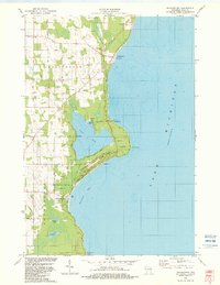
1982 · Jacksonport
USGS Topo · 1:24,000
1982 · Jacksonport SW
USGS Topo · 1:24,000