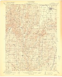
1917 Map of Sturgeon
USGS Topo · Published 1917About this map
Sturgeon anchors the northern reaches of this territory where the Wabash railroad cuts across the prairie, serving as a vital shipping point during the early twentieth century. The landscape is defined by the complex drainage systems of Perche Creek and its many tributaries, including Silver Fork and Rocky Fork. These waterways carved out distinctive geological landmarks like The Pinnacles, a narrow limestone ridge that stands out against the surrounding hills.
Find a feature on this map
64 named features on this map. Tap any name to fly to it.
Don’t see what you’re looking for? This feature index may not catch every label — zoom into the map to look around manually.
Map Details
Editions of this 1917 Sturgeon Map
3 editions found
Other maps of this area

1886 · Jefferson City
USGS Topo · 1:125,000

1888 · Boonville
USGS Topo · 1:125,000

1890 · Moberly
USGS Topo · 1:125,000

1890 · Glasgow
USGS Topo · 1:125,000

1894 · Jefferson City
USGS Topo · 1:125,000

1917 · Sturgeon
USGS Topo · 1:62,500

1935 · Columbia
USGS Topo · 1:24,000

1940 · Columbia
USGS Topo · 1:24,000

1944 · Millersburg
USGS Topo · 1:62,500

1945 · Centralia
USGS Topo · 1:62,500