Loading...
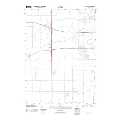
Loading map...1959 Map of Sturtevant
USGS Topo · Published 1972About this map
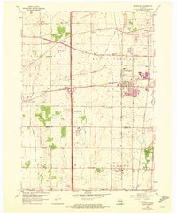
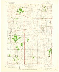
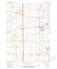
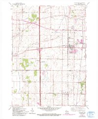
The village of Sturtevant serves as a significant rail junction on this survey, where the Chicago Milwaukee St Paul and Pacific and Chicago and North Western lines intersect. This transportation network defined the local economy, particularly evident at Waxdale, which developed as a rail-adjacent industrial node near the Pike River. The landscape transitions from the agricultural fields of Mount Pleasant and Yorkville in the north to the borders of Kenosha County in the south, following the Racine Co Kenosha Co line.
Find a feature on this map
43 named features on this map. Tap any name to fly to it.
Don’t see what you’re looking for? This feature index may not catch every label — zoom into the map to look around manually.
Map Details
Date Portrayed1959
Date Published1972
PublisherU.S. Geological Survey
Map TypeTopographic
Scale1:24,000
Physical Dimensions22.68 x 27.43 inches
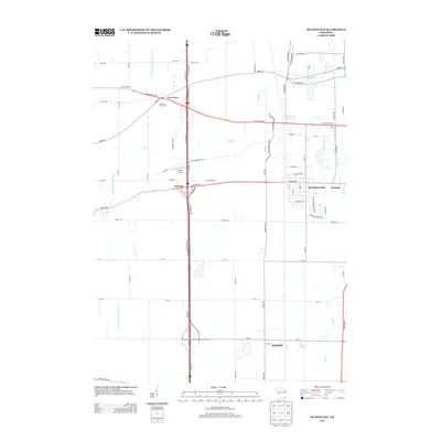
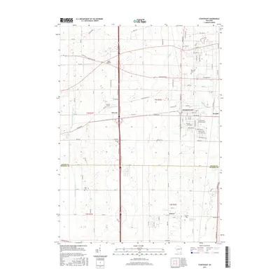
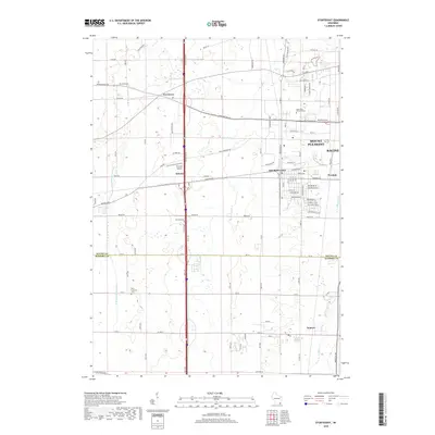
Editions of this 1959 Sturtevant Map
4 editions found
Historical Maps of Racine Through Time
6 maps found

Featured Locations
Source Details
SourceU.S. Geological Survey
CopyrightPublic Domain