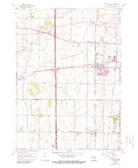
1959 Map of Sturtevant
USGS Topo · Published 1989About this map
The Chicago Milwaukee St Paul and Pacific railroad forms the industrial spine of this landscape, anchoring the growing village of Sturtevant and the adjacent industrial area at Waxdale. This mid-century survey captures the agricultural transition of eastern Wisconsin as smaller rural settlements like Ives Grove and Sylvania remain distinct points on the map. The landscape is defined by its educational and social infrastructure, featuring a high density of country schools such as Tucker Sch, Barlett Sch, and St Bonaventure Sch, along with numerous family cemeteries like Paris Cem and Sylvania Cem. Large recreation and conservation areas are established at Petrifying Springs Park and Evans County Park, while the Root River and Pike River drain the surrounding fields of Yorkville and Mount Pleasant.
Find a feature on this map
47 named features on this map. Tap any name to fly to it.
Don’t see what you’re looking for? This feature index may not catch every label — zoom into the map to look around manually.
Map Details
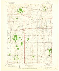
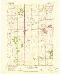
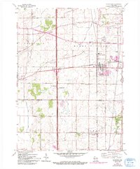
Editions of this 1959 Sturtevant Map
4 editions found
Other maps of this area

1891 · Bayview
USGS Topo · 1:62,500

1891 · Muskego
USGS Topo · 1:62,500

1892 · Racine
USGS Topo · 1:62,500

1893 · Silver Lake
USGS Topo · 1:62,500

1901 · Bayview
USGS Topo · 1:62,500

1901 · Muskego
USGS Topo · 1:62,500

1905 · Racine
USGS Topo · 1:62,500

1906 · Silver Lake
USGS Topo · 1:62,500

1954 · Rockford
USGS Topo · 1:250,000

1955 · Rockford
USGS Topo · 1:250,000