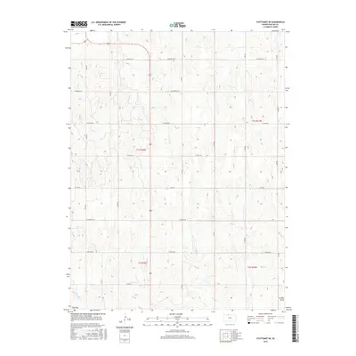
2015 Map of Stuttgart NE
USGS Topo · Published 2015About this map
Blue Mtn rises above the rural landscape of Phillips County, anchoring a terrain defined by the Public Land Survey System's rigid grid. This 2015 survey reveals a disciplined agricultural pattern where section-line roads such as W Buffalo Rd and W Granite Rd bisect the high plains. The drainage network provides a natural contrast to this geometry, with the headwaters of W Crow Cr, E Big Cr, and Spring Cr carving subtle relief across the township blocks of t1s r18w and t1s r17w.
Find a feature on this map
26 named features on this map. Tap any name to fly to it.
Don’t see what you’re looking for? This feature index may not catch every label — zoom into the map to look around manually.
Map Details
Editions of this 2015 Stuttgart NE Map
This is the sole edition of this map. No revisions or reprints were ever made.
Other maps of this area
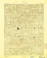
1893 · Phillipsburg
USGS Topo · 1:125,000
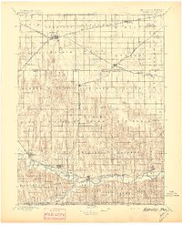
1896 · Holdrege
USGS Topo · 1:125,000
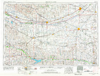
1955 · Grand Island
USGS Topo · 1:250,000
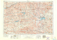
1955 · Beloit
USGS Topo · 1:250,000
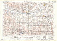
1957 · Grand Island
USGS Topo · 1:250,000
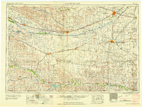
1958 · Grand Island
USGS Topo · 1:250,000
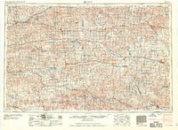
1959 · Beloit
USGS Topo · 1:250,000
1968 · Woodruff
USGS Topo · 1:24,000
1973 · Stuttgart NE
USGS Topo · 1:24,000
1973 · Kensington NW
USGS Topo · 1:24,000