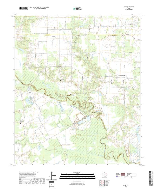
2022 Map of Styx
USGS Topo · Published 2022About this map
The Trinity River snakes through the center of this landscape, forming the winding boundary between Henderson and Navarro counties. This low-lying river valley is characterized by complex hydrology, including oxbow formations like Berry Lake and significant wetlands such as Round Pond. North of the river, the settlement of Styx and the ranching operations at Blanton Ranch reflect the traditional agricultural character of the region, while the eastern edge shows the residential footprint of Seven Points and Rolling Oaks.
Find a feature on this map
78 named features on this map. Tap any name to fly to it.
Don’t see what you’re looking for? This feature index may not catch every label — zoom into the map to look around manually.
Map Details
Editions of this 2022 Styx Map
This is the sole edition of this map. No revisions or reprints were ever made.
Other maps of this area

1920 · Kemp
USGS Topo · 1:62,500

1954 · Dallas
USGS Topo · 1:250,000

1957 · Kemp
USGS Topo · 1:62,500

1958 · Dallas
USGS Topo · 1:250,000

1960 · Tool
USGS Topo · 1:24,000

1960 · Grays Prairie
USGS Topo · 1:24,000

1961 · Kemp
USGS Topo · 1:24,000

1961 · Kerens
USGS Topo · 1:24,000

1961 · Chatfield
USGS Topo · 1:24,000

1962 · Bazette
USGS Topo · 1:24,000