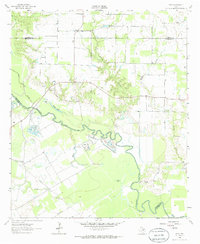
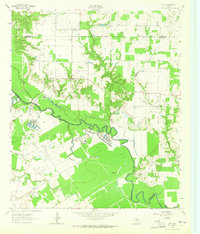
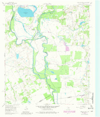
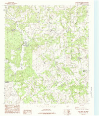
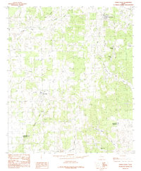
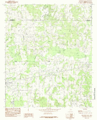
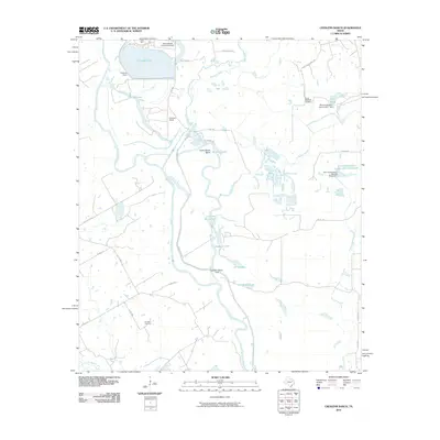
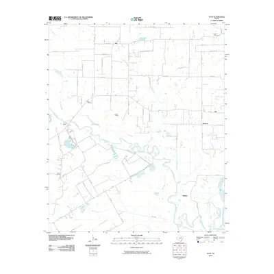
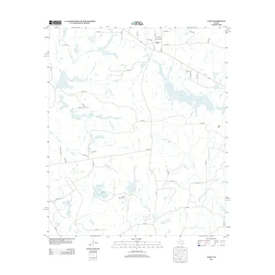
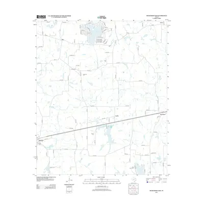
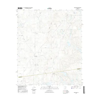
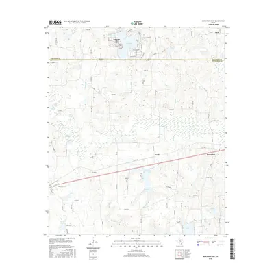
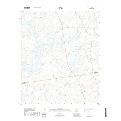
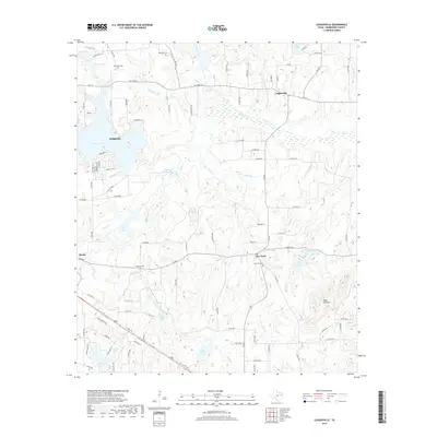
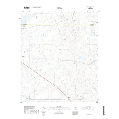
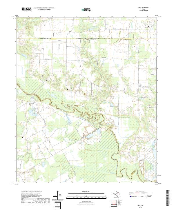
1962 Map of Styx
USGS Topo · Published 1986About this map
The Trinity River winds through a landscape of oxbows and floodplains where the borders of Kaufman, Henderson, and Navarro counties meet. This area in the early 1960s is defined by its rural connectivity and river-bottom topography, featuring significant water bodies like Berry Lake and Mc Dougle Lake. The map captures several small communities and historical gathering points, including Styx, Harmony, and Grays, which served as local hubs for the surrounding farming families.
Find a feature on this map
24 named features on this map. Tap any name to fly to it.
Don’t see what you’re looking for? This feature index may not catch every label — zoom into the map to look around manually.
Map Details
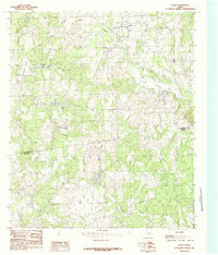
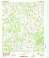
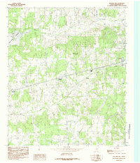
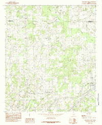
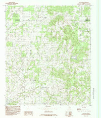
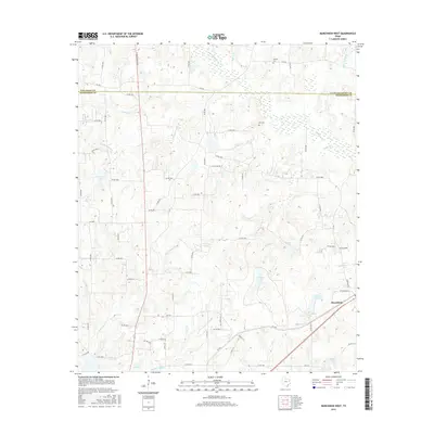
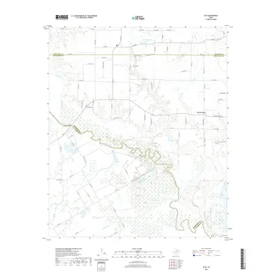
Editions of this 1962 Styx Map
2 editions found
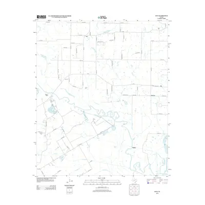
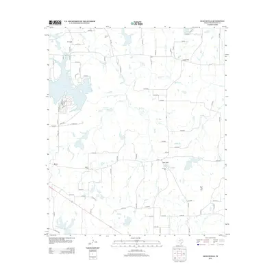
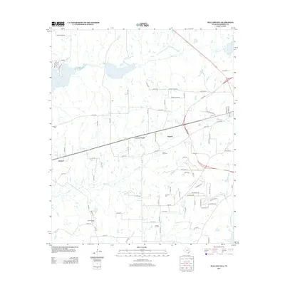
Historical Maps of Seven Points Through Time
60 maps found
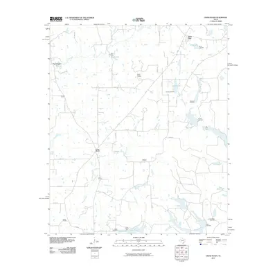
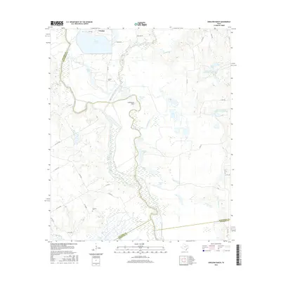
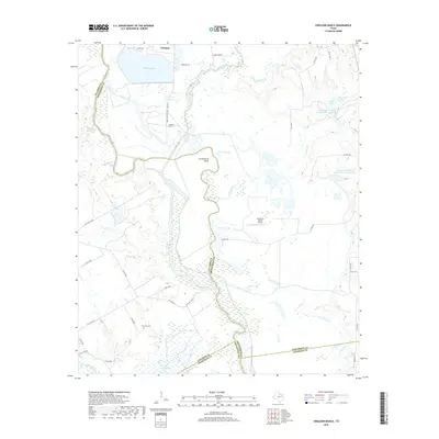
1960 Creslenn Ranch
Henderson County, TX
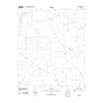
1962 Styx
Henderson County, TX
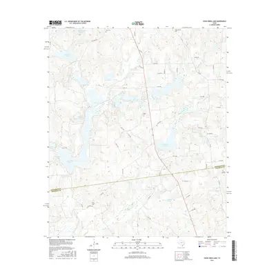
1984 Coon Creek Lake
Henderson County, TX
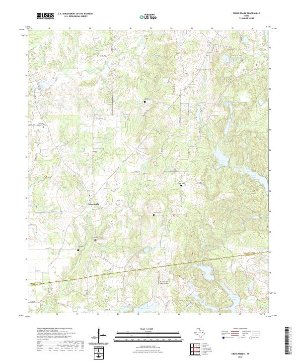
1984 Cross Roads
Henderson County, TX
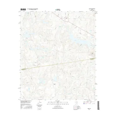
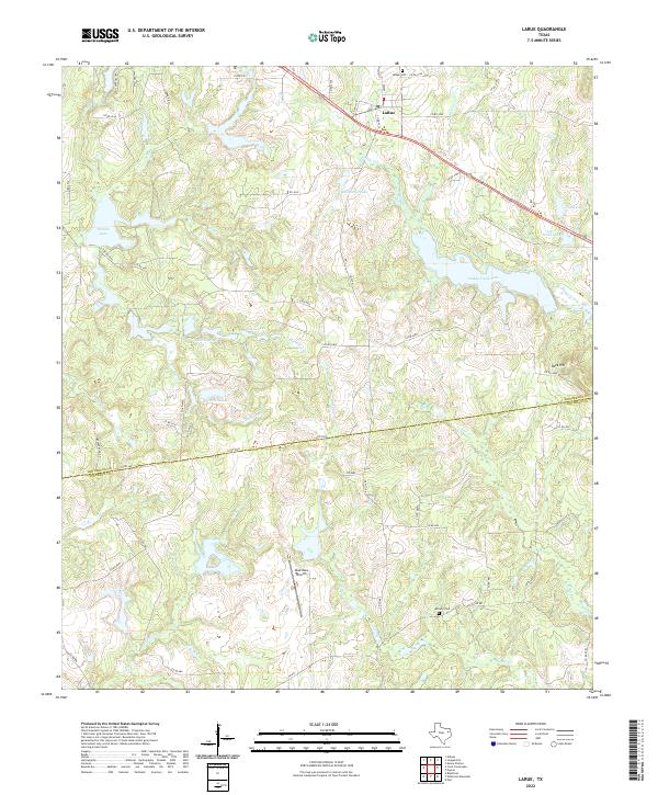
1984 La Rue
Henderson County, TX
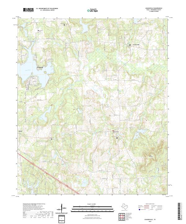
1984 Leagueville
Henderson County, TX
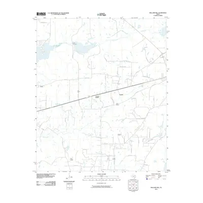
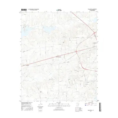
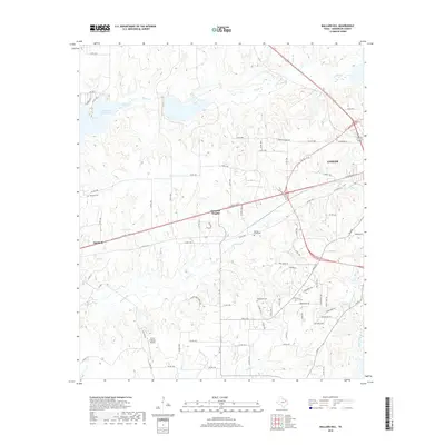
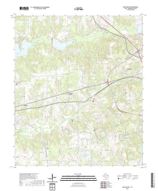
1984 Mallard Hill
Henderson County, TX
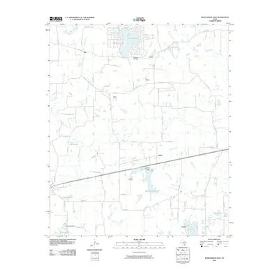
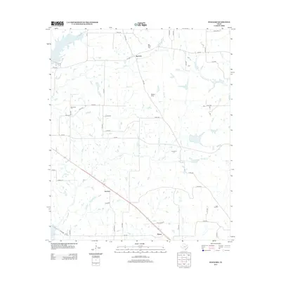
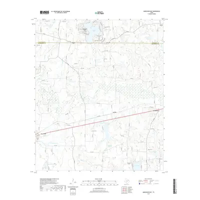
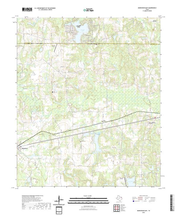
1984 Murchison East
Henderson County, TX
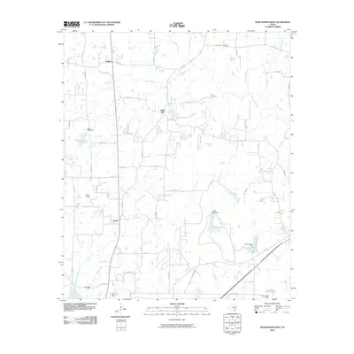
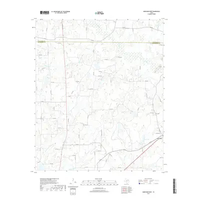
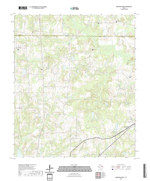
1984 Murchison West
Henderson County, TX
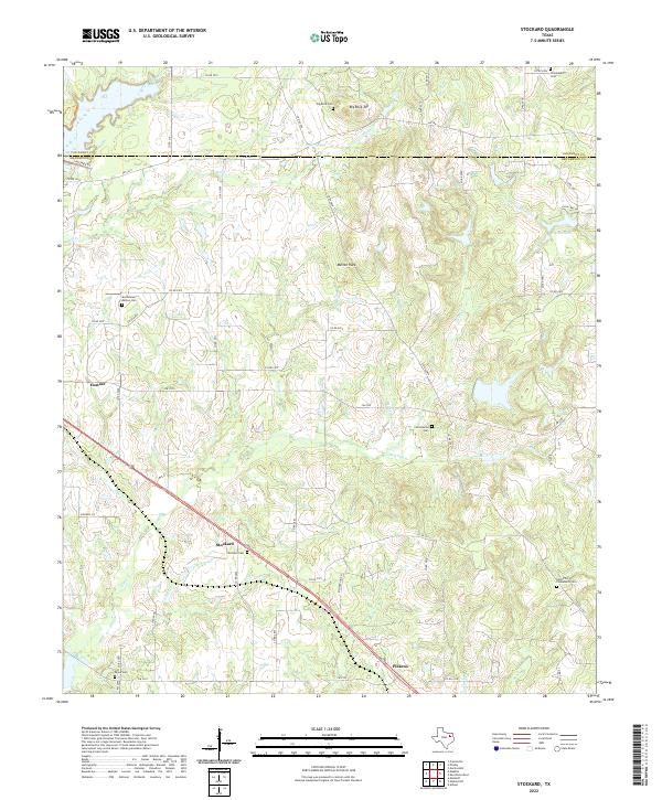
1984 Stockard
Henderson County, TX
2010 Coon Creek Lake
Henderson County, TX
2010 Creslenn Ranch
Henderson County, TX
2010 Cross Roads
Henderson County, TX
2010 LaRue
Henderson County, TX
2010 Leagueville
Henderson County, TX
2010 Mallard Hill
Henderson County, TX
2010 Murchison East
Henderson County, TX
2010 Murchison West
Henderson County, TX
2010 Stockard
Henderson County, TX
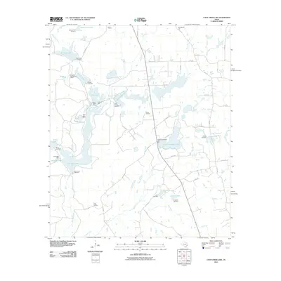
2010 Styx
Henderson County, TX
2012 Coon Creek Lake
Henderson County, TX
2012 Creslenn Ranch
Henderson County, TX
2012 Cross Roads
Henderson County, TX
2012 LaRue
Henderson County, TX
2012 Styx
Henderson County, TX
2013 Leagueville
Henderson County, TX
2013 Mallard Hill
Henderson County, TX
2013 Murchison East
Henderson County, TX

2013 Murchison West
Henderson County, TX
2013 Stockard
Henderson County, TX
2016 Coon Creek Lake
Henderson County, TX
2016 Creslenn Ranch
Henderson County, TX
2016 Cross Roads
Henderson County, TX
2016 LaRue
Henderson County, TX
2016 Leagueville
Henderson County, TX
2016 Mallard Hill
Henderson County, TX
2016 Murchison East
Henderson County, TX
2016 Murchison West
Henderson County, TX
2016 Stockard
Henderson County, TX
2016 Styx
Henderson County, TX
2019 Coon Creek Lake
Henderson County, TX
2019 Creslenn Ranch
Henderson County, TX
2019 Cross Roads
Henderson County, TX
2019 LaRue
Henderson County, TX
2019 Leagueville
Henderson County, TX
2019 Mallard Hill
Henderson County, TX
2019 Murchison East
Henderson County, TX
2019 Murchison West
Henderson County, TX
2019 Stockard
Henderson County, TX
2019 Styx
Henderson County, TX
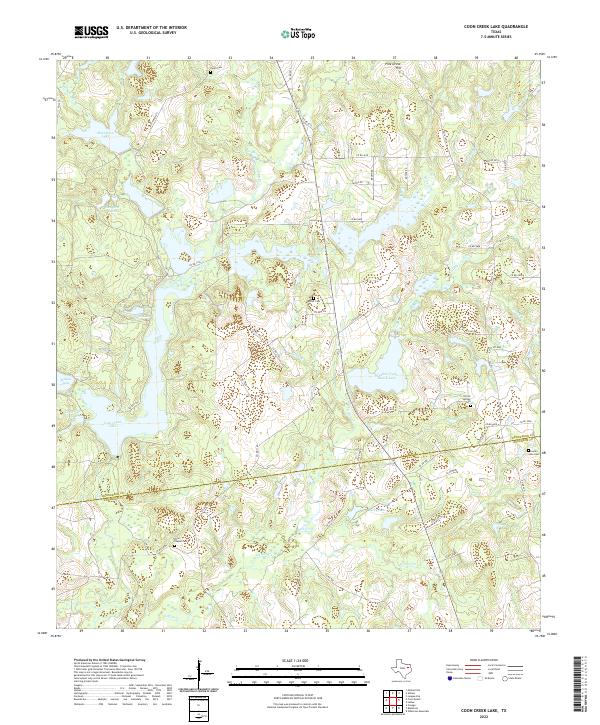
2022 Coon Creek Lake
Henderson County, TX
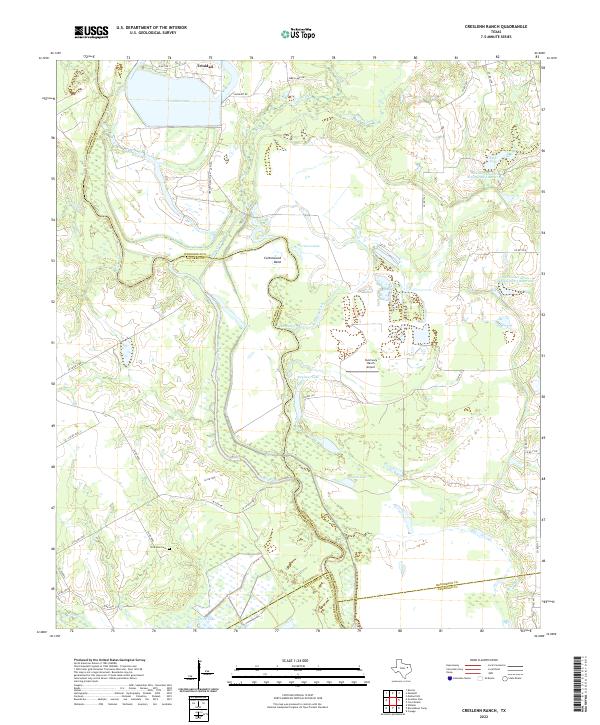
2022 Creslenn Ranch
Henderson County, TX
2022 Cross Roads
Henderson County, TX
2022 LaRue
Henderson County, TX
2022 Leagueville
Henderson County, TX
2022 Mallard Hill
Henderson County, TX
2022 Murchison East
Henderson County, TX
2022 Murchison West
Henderson County, TX
2022 Stockard
Henderson County, TX
2022 Styx
Henderson County, TX