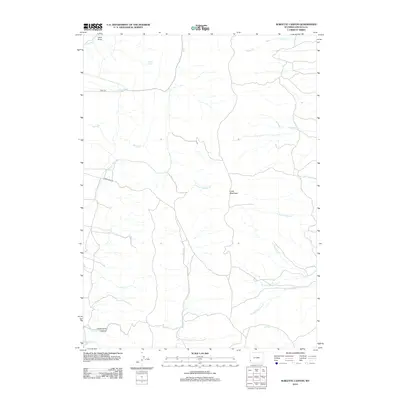
2012 Map of Sublette Canyon
USGS Topo · Published 2012About this map
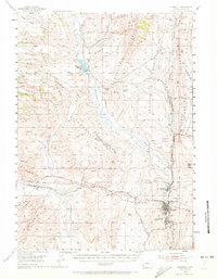
The Emigrant Trl cuts through this high-country landscape in Lincoln County, marking the enduring path of westward migration through the Wyoming range. This 2012 survey reveals a complex hydrological network defined by the drainages of Sublette Cr and Dempsey Cr, where various forks converge near the prominent elevation of Coke Mountain. The terrain is deeply incised by named features such as Underwood Canyon and Lund Draw, which channel seasonal runoff toward Rock Cr. Land use in this area remains primarily focused on the natural topography and primitive trail systems, with remote water sources like Drubby Spring serving as vital landmarks for those navigating the rugged draws and creek beds.
Find a feature on this map
24 named features on this map. Tap any name to fly to it.
Don’t see what you’re looking for? This feature index may not catch every label — zoom into the map to look around manually.
Map Details
Editions of this 2012 Sublette Canyon Map
This is the sole edition of this map. No revisions or reprints were ever made.
Other maps of this area
1936 · Cokeville
USGS Topo · 1:96,000
1942 · Cokeville
USGS Topo · 1:125,000
1954 · Sage
USGS Topo · 1:62,500

1954 · Ogden
USGS Topo · 1:250,000
1954 · Kemmerer
USGS Topo · 1:62,500

1955 · Preston
USGS Topo · 1:250,000

1958 · Ogden
USGS Topo · 1:250,000

1958 · Preston
USGS Topo · 1:250,000

1960 · Ogden
USGS Topo · 1:250,000

1962 · Preston
USGS Topo · 1:250,000