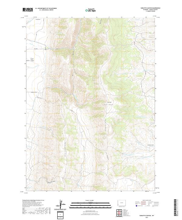
2021 Map of Sublette Canyon
USGS Topo · Published 2021About this map
The Emigrant Trl winds through the high-altitude terrain of Lincoln County, crossing a landscape defined by significant ridges and drainages. The trail traverses Sublette Flat and descends through the heart of the Tunp Range, providing a tangible link to the historic overland passage through Wyoming. This 2021 survey reveals a territory where modern infrastructure, such as the Circle B Airport, exists alongside deeply etched natural features like Coke Mtn and the prominent Dempsey Ridge.
Find a feature on this map
38 named features on this map. Tap any name to fly to it.
Don’t see what you’re looking for? This feature index may not catch every label — zoom into the map to look around manually.
Map Details
Editions of this 2021 Sublette Canyon Map
This is the sole edition of this map. No revisions or reprints were ever made.
Other maps of this area

1936 · Cokeville
USGS Topo · 1:96,000

1942 · Cokeville
USGS Topo · 1:125,000

1954 · Sage
USGS Topo · 1:62,500

1954 · Ogden
USGS Topo · 1:250,000

1954 · Kemmerer
USGS Topo · 1:62,500

1955 · Preston
USGS Topo · 1:250,000

1958 · Ogden
USGS Topo · 1:250,000

1958 · Preston
USGS Topo · 1:250,000

1960 · Ogden
USGS Topo · 1:250,000

1962 · Preston
USGS Topo · 1:250,000