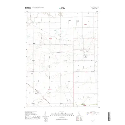
2018 Map of Sublette
USGS Topo · Published 2018About this map
The agrarian plains of northern Illinois are defined here by a systematic grid of section lines and rural homesteads, primarily within the southeastern corner of Lee County. The village of Sublette sits near the southwestern corner, anchored by its post office and the local Saint Marys Cem. To the northeast, the smaller settlement of West Brooklyn appears as a distinct cluster of structures near Union Cem. This area is characterized by a high density of small private airstrips, including Delhotal Airport, Butler Hill RLA Airport, and Gehart Airport, reflecting the region's reliance on aviation for agricultural management.
Find a feature on this map
60 named features on this map. Tap any name to fly to it.
Don’t see what you’re looking for? This feature index may not catch every label — zoom into the map to look around manually.
Map Details
Editions of this 2018 Sublette Map
This is the sole edition of this map. No revisions or reprints were ever made.
Other maps of this area
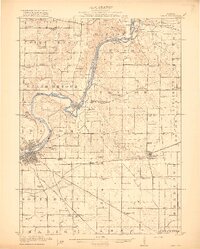
1918 · Dixon
USGS Topo · 1:62,500
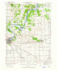
1950 · Dixon
USGS Topo · 1:62,500
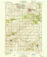
1951 · Amboy
USGS Topo · 1:62,500
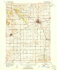
1952 · Rochelle
USGS Topo · 1:62,500
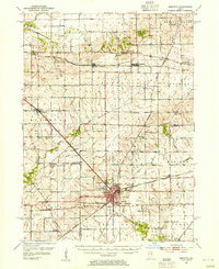
1952 · Mendota
USGS Topo · 1:62,500
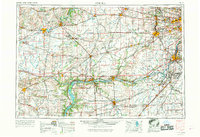
1958 · Aurora
USGS Topo · 1:250,000
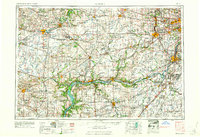
1961 · Aurora
USGS Topo · 1:250,000
1975 · Steward
USGS Topo · 1:24,000
1975 · Ashton
USGS Topo · 1:24,000
1982 · Sublette
USGS Topo · 1:24,000