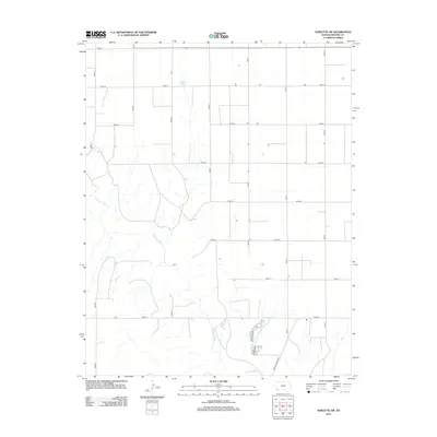
2012 Map of Sublette SW
USGS Topo · Published 2012About this map
The Cimarron River carves a winding path across the southwestern corner of Seward County, creating a distinct topographical break in an otherwise highly organized agricultural landscape. This 2012 survey reveals a classic High Plains section-line grid, where roads like Road 23 and Road K delineate the vast tracts of farmland typical of western Kansas. Scattered agricultural buildings and small impoundments, such as Mitchell Pond, highlight the importance of water management in this prairie environment. The southern portion of the map features the Satanta Cutoff Rd, a notable transportation link that diverges from the cardinal grid to follow the natural contours near the river valley. For researchers, this document provides a precise record of rural property access and water resources in a region defined by its large-scale farming operations and river drainage systems.
Find a feature on this map
18 named features on this map. Tap any name to fly to it.
Don’t see what you’re looking for? This feature index may not catch every label — zoom into the map to look around manually.
Map Details
Editions of this 2012 Sublette SW Map
This is the sole edition of this map. No revisions or reprints were ever made.
Other maps of this area
1944 · Moscow
USGS Topo · 1:62,500
1945 · Moscow
USGS Topo · 1:62,500

1955 · Dodge City
USGS Topo · 1:250,000

1958 · Dodge City
USGS Topo · 1:250,000

1959 · Dodge City
USGS Topo · 1:250,000
1968 · Sublette SW
USGS Topo · 1:24,000
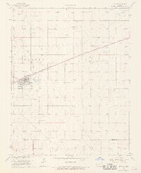
1968 · Satanta
USGS Topo · 1:24,000
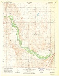
1968 · Liberal NE
USGS Topo · 1:24,000
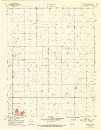
1968 · Sublette SE
USGS Topo · 1:24,000
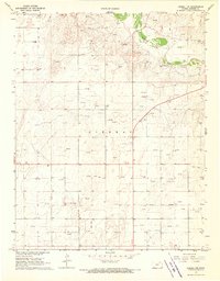
1968 · Liberal NW
USGS Topo · 1:24,000