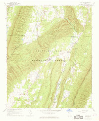
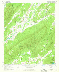
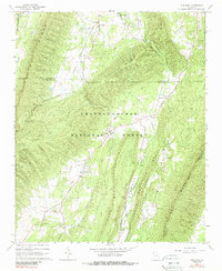
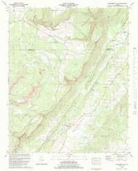
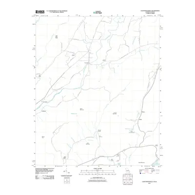
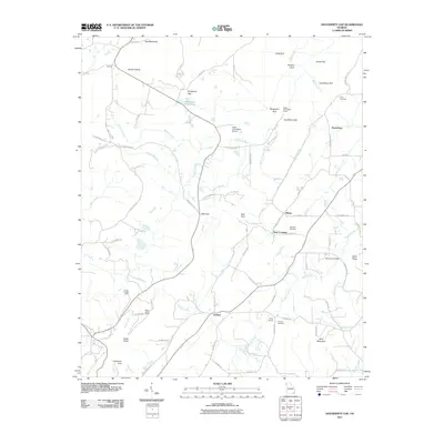
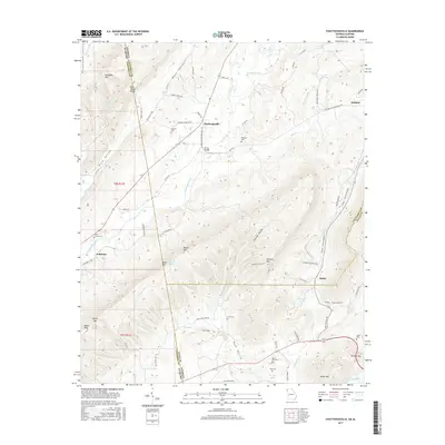
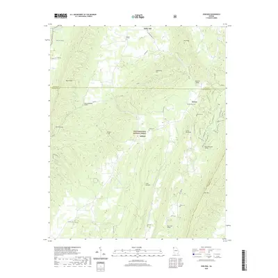
1967 Map of Subligna
USGS Topo · Published 1968About this map
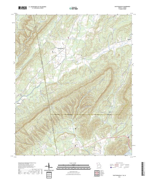
Strawberry Mountain and Taylor Ridge dominate this section of North Georgia, where the Chattahoochee National Forest spans several distinct valleys and ridges. The settlement of Subligna serves as a central point in the southern West Armuchee Valley, which is drained by the meandering West Armuchee Creek. The map documents a rural landscape defined by narrow valley farming and small upland communities, evidenced by scattered landmarks like Suttles Mill and the Gaging Station on Armuchee Creek.
Find a feature on this map
40 named features on this map. Tap any name to fly to it.
Don’t see what you’re looking for? This feature index may not catch every label — zoom into the map to look around manually.
Map Details
Editions of this 1967 Subligna Map
2 editions found
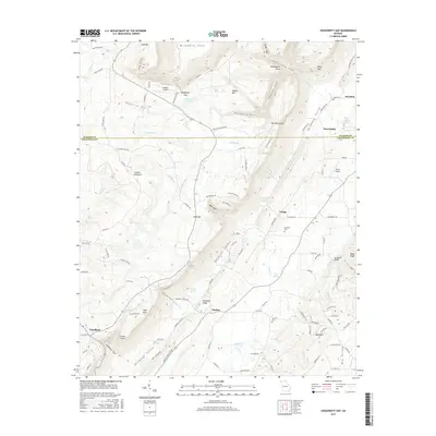
Historical Maps of Beatum Through Time
21 maps found
1936 Dougherty Gap
Chattooga County, GA
1946 Dougherty Gap
Chattooga County, GA
1947 Dougherty Gap
Chattooga County, GA
1967 Chattoogaville
Chattooga County, GA
1967 Subligna
Chattooga County, GA
1983 Dougherty Gap
Chattooga County, GA
2011 Chattoogaville
Chattooga County, GA
2011 Dougherty Gap
Chattooga County, GA
2011 Subligna
Chattooga County, GA

2014 Chattoogaville
Chattooga County, GA
2014 Dougherty Gap
Chattooga County, GA
2014 Subligna
Chattooga County, GA
2017 Chattoogaville
Chattooga County, GA
2017 Dougherty Gap
Chattooga County, GA
2017 Subligna
Chattooga County, GA

2020 Chattoogaville
Chattooga County, GA
2020 Dougherty Gap
Chattooga County, GA
2020 Subligna
Chattooga County, GA
2024 Chattoogaville
Chattooga County, GA
2024 Dougherty Gap
Chattooga County, GA
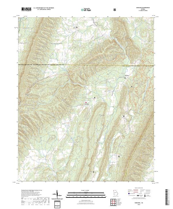
2024 Subligna
Chattooga County, GA