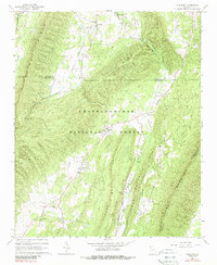
1967 Map of Subligna
USGS Topo · Published 1989About this map
West Armuchee Valley and its surrounding ridges define this corner of the Ridge and Valley province during the late 1960s. The landscape is structured by a series of parallel mountains, including Strawberry Mountain and Johns Mountain, which hem in the agricultural bottomlands of Haywood Valley. Much of the terrain is protected within the Chattahoochee National Forest, reflecting a rural economy centered on timber and small-scale farming.
Find a feature on this map
33 named features on this map. Tap any name to fly to it.
Don’t see what you’re looking for? This feature index may not catch every label — zoom into the map to look around manually.
Map Details
Editions of this 1967 Subligna Map
2 editions found
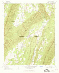
Other maps of this area

1886 · Ringgold
USGS Topo · 1:125,000

1886 · Rome
USGS Topo · 1:125,000

1892 · Ringgold
USGS Topo · 1:125,000

1898 · Rome
USGS Topo · 1:125,000

1899 · Rome
USGS Topo · 1:125,000

1904 · Rome
USGS Topo · 1:125,000

1935 · Catlett
USGS Topo · 1:24,000

1935 · Villanow
USGS Topo · 1:24,000

1936 · Estelle
USGS Topo · 1:24,000
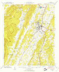
1946 · Estelle
USGS Topo · 1:24,000