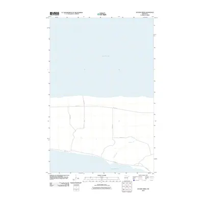
2010 Map of Sucker Creek
USGS Topo · Published 2010About this map
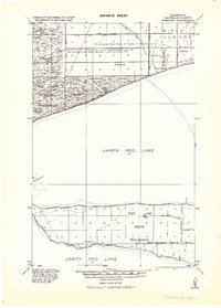
Upper Red Lake and Lower Red Lake dominate this northern Minnesota landscape, separated by a narrow strip of land that defines the geography of Beltrami County. This 2010 survey focuses on the hydraulic and transportation network within the Red Lake Reservation, where Sucker Creek meanders toward the southern basin. The map reveals a strictly organized grid of reservation roads, including Res Hwy 25 and Res Hwy 18, which serve as the primary arteries through the level, low-lying terrain between these two massive bodies of water. The inclusion of Old Camp Rd suggests localized land use and historical access points to the lakefront, while the lack of dense residential naming reflects the rural and protected character of the reservation lands during this era.
Find a feature on this map
10 named features on this map. Tap any name to fly to it.
Don’t see what you’re looking for? This feature index may not catch every label — zoom into the map to look around manually.
Map Details
Editions of this 2010 Sucker Creek Map
This is the sole edition of this map. No revisions or reprints were ever made.
Other maps of this area
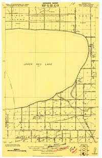
1919 · Fox
USGS Topo · 1:62,500
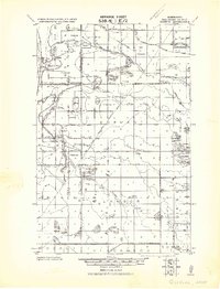
1919 · Quiring
USGS Topo · 1:62,500
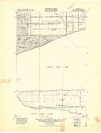
1919 · Ponemah
USGS Topo · 1:62,500
1943 · Ponemah
USGS Topo · 1:62,500

1954 · Bemidji
USGS Topo · 1:250,000

1954 · Roseau
USGS Topo · 1:250,000

1957 · Roseau
USGS Topo · 1:250,000

1957 · Bemidji
USGS Topo · 1:250,000

1958 · Bemidji
USGS Topo · 1:250,000

1958 · Roseau
USGS Topo · 1:250,000