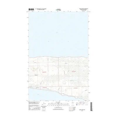
2016 Map of Sucker Creek
USGS Topo · Published 2016About this map
Upper Red Lake and Lower Red Lake dominate this northern Minnesota landscape, separated by a narrow strip of land where the settlement of Ponemah is established. This 2016 survey highlights the intricate relationship between the tribal community and the surrounding water and wetlands. The transportation network is specifically oriented toward reservation life, with a grid of local routes including Resvn Hwy 25, Resvn Hwy 58, and Resvn Hwy 18 connecting the lakeshore to the interior. The winding path of Sucker Creek cuts through the southern reaches, draining into the lower lake amidst a complex system of marshes. Historically significant routes like Old Camp Rd and Old Rd suggest older patterns of movement across the peninsula, providing researchers with a look at how access to these remote shorelines has evolved over time.
Find a feature on this map
18 named features on this map. Tap any name to fly to it.
Don’t see what you’re looking for? This feature index may not catch every label — zoom into the map to look around manually.
Map Details
Editions of this 2016 Sucker Creek Map
This is the sole edition of this map. No revisions or reprints were ever made.
Other maps of this area
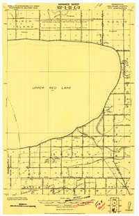
1919 · Fox
USGS Topo · 1:62,500
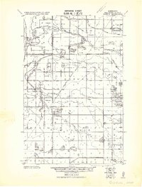
1919 · Quiring
USGS Topo · 1:62,500
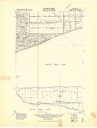
1919 · Ponemah
USGS Topo · 1:62,500
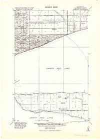
1943 · Ponemah
USGS Topo · 1:62,500

1954 · Bemidji
USGS Topo · 1:250,000

1954 · Roseau
USGS Topo · 1:250,000

1957 · Roseau
USGS Topo · 1:250,000

1957 · Bemidji
USGS Topo · 1:250,000

1958 · Bemidji
USGS Topo · 1:250,000

1958 · Roseau
USGS Topo · 1:250,000