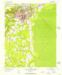
1954 Map of Suffolk
USGS Topo · Published 1956About this map
The city of Suffolk serves as a major logistical hub in the mid-1950s, defined by a dense intersection of rail lines including the Virginian, Seaboard Air Line, and Norfolk and Western railroads. This era captures the community's established infrastructure, from the Filter Plant near Lake Kilby to educational centers like B T Washington High Sch and East Suffolk High Sch. To the east, the map transitions abruptly into the Dismal Swamp, where the Jericho Canal and Washington Ditch represent historic attempts to manage this complex wetland environment.
Find a feature on this map
44 named features on this map. Tap any name to fly to it.
Don’t see what you’re looking for? This feature index may not catch every label — zoom into the map to look around manually.
Map Details
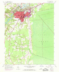
Editions of this 1954 Suffolk Map
2 editions found
Other maps of this area

1907 · Norfolk
USGS Topo · 1:125,000

1919 · Smithfield
USGS Topo · 1:62,500

1919 · Suffolk
USGS Topo · 1:62,500

1921 · Newport News
USGS Topo · 1:62,500

1940 · Lake Drummond
USGS Topo · 1:62,500

1944 · Windsor
USGS Topo · 1:31,680

1945 · Lake Drummond
USGS Topo · 1:62,500

1949 · Chuckatuck
USGS Topo · 1:24,000
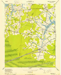
1952 · Bowers Hill
USGS Topo · 1:24,000

1953 · Norfolk
USGS Topo · 1:250,000