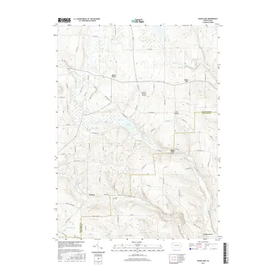
2016 Map of Sugar Lake
USGS Topo · Published 2016About this map
Sugar Lake lies at the center of this rural landscape in the 2010s, where the winding course of Lake Creek and its many tributaries define the drainage of the Crawford and Venango county border. The area is marked by a complex glacial history, specifically the presence of a Dead-Ice Terminal Moraine, which has shaped the rolling topography between the small settlements of Mount Hope and Black Ash. Local family histories and burial sites are preserved at Brawley Cem and Peters Cem, serving as physical anchors for genealogical research in this quiet corner of Pennsylvania.
Find a feature on this map
69 named features on this map. Tap any name to fly to it.
Don’t see what you’re looking for? This feature index may not catch every label — zoom into the map to look around manually.
Map Details
Editions of this 2016 Sugar Lake Map
This is the sole edition of this map. No revisions or reprints were ever made.
Other maps of this area

1909 · Franklin
USGS Topo · 1:62,500

1911 · Franklin
USGS Topo · 1:62,500

1911 · Stoneboro
USGS Topo · 1:62,500

1913 · Stoneboro
USGS Topo · 1:62,500

1923 · Meadville
USGS Topo · 1:62,500

1925 · Meadville
USGS Topo · 1:62,500

1927 · Townville
USGS Topo · 1:48,000

1932 · Townville
USGS Topo · 1:62,500

1943 · Meadville
USGS Topo · 1:62,500

1943 · Stoneboro
USGS Topo · 1:62,500