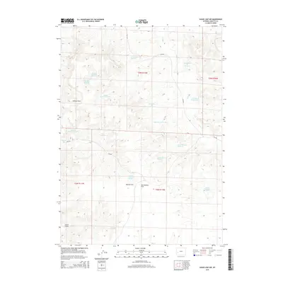
2015 Map of Sugar Loaf NW
USGS Topo · Published 2015About this map
Alkali Cr winds through this arid portion of Sublette County, defining a landscape marked by an extensive network of water management and resource extraction. The area is characterized by numerous small-scale water storage features, such as Luman Reservoir Number 1, Vital Reservoir, and a series of numbered basins including Wardell Reservoir Number 1 and Antelope Reservoir Number 7. These structures reflect the vital importance of water catchments for livestock and land use in this high-desert environment.
Find a feature on this map
32 named features on this map. Tap any name to fly to it.
Don’t see what you’re looking for? This feature index may not catch every label — zoom into the map to look around manually.
Map Details
Editions of this 2015 Sugar Loaf NW Map
This is the sole edition of this map. No revisions or reprints were ever made.
Other maps of this area

1939 · Big Piney
USGS Topo · 1:125,000

1942 · Big Piney
USGS Topo · 1:125,000

1955 · Preston
USGS Topo · 1:250,000

1955 · Lander
USGS Topo · 1:250,000

1958 · Lander
USGS Topo · 1:250,000

1958 · Preston
USGS Topo · 1:250,000

1961 · Lander
USGS Topo · 1:250,000

1962 · Preston
USGS Topo · 1:250,000

1964 · Ross Butte
USGS Topo · 1:24,000
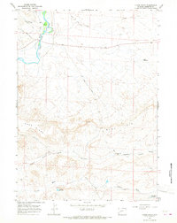
1964 · Olsen Ranch
USGS Topo · 1:24,000