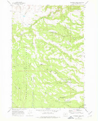
1969 Map of Sugarbowl Creek
USGS Topo · Published 1978About this map
Umatilla National Forest encompasses much of this high country landscape, where a network of springs and creeks defines the local geography. Significant water sources like Gulliford Spring, Sturdevant Spring, and Wolf Spring are scattered across the drainage basins of East Fork Butter Creek and Sugarbowl Creek. The presence of the Gilman Ranch and various named features like The Big Pot suggest a history of ranching and navigation through this upland terrain.
Find a feature on this map
28 named features on this map. Tap any name to fly to it.
Don’t see what you’re looking for? This feature index may not catch every label — zoom into the map to look around manually.
Map Details
Editions of this 1969 Sugarbowl Creek Map
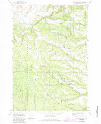
Other maps of this area

1953 · Pendleton
USGS Topo · 1:250,000

1956 · Pendleton
USGS Topo · 1:250,000

1967 · Bridge Creek
USGS Topo · 1:24,000

1967 · Carney Butte
USGS Topo · 1:24,000

1967 · Ukiah
USGS Topo · 1:24,000

1968 · Hoodlum Canyon
USGS Topo · 1:24,000

1968 · Gurdane
USGS Topo · 1:24,000

1969 · Sugarbowl Creek
USGS Topo · 1:24,000

1969 · Deerhorn Creek
USGS Topo · 1:24,000

1969 · Thompson Flat
USGS Topo · 1:24,000