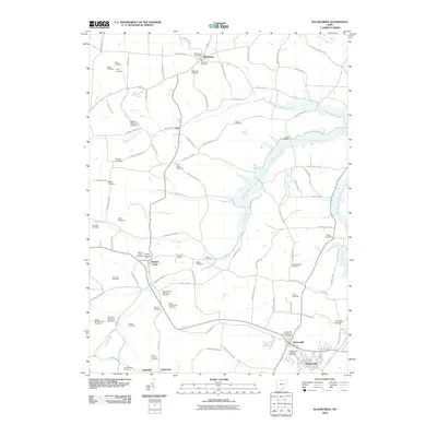
2010 Map of Sugarcreek
USGS Topo · Published 2010About this map
Walnut Creek and Sugarcreek anchor this portion of Holmes and Tuscarawas Counties, illustrating a landscape defined by small rural settlements and a high density of family and denominational burial grounds. The map reveals the intricate network of farm-to-market routes like Peabody Kent Rd and Shutt Valley Rd NW that connect communities such as Winesburg and Trail.
Find a feature on this map
93 named features on this map. Tap any name to fly to it.
Don’t see what you’re looking for? This feature index may not catch every label — zoom into the map to look around manually.
Map Details
Editions of this 2010 Sugarcreek Map
This is the sole edition of this map. No revisions or reprints were ever made.
Other maps of this area

1911 · Newcomerstown
USGS Topo · 1:62,500

1913 · Newcomerstown
USGS Topo · 1:62,500

1913 · Coshocton
USGS Topo · 1:62,500

1914 · Navarre
USGS Topo · 1:62,500

1915 · Millersburg
USGS Topo · 1:62,500

1915 · Coshocton
USGS Topo · 1:62,500

1943 · Millersburg
USGS Topo · 1:62,500

1943 · Coshocton
USGS Topo · 1:62,500

1943 · Newcomerstown
USGS Topo · 1:62,500

1944 · Navarre
USGS Topo · 1:62,500