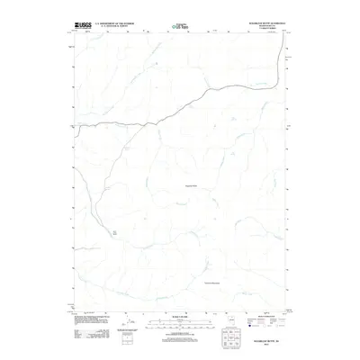
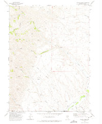
2012 Map of Sugarloaf Butte
USGS Topo · Published 2012About this map
Saint Johns Ranch sits at the base of the Tuscarora Mountains, a landscape defined by an intricate network of desert drainage and isolated water sources. This 2012 survey identifies a series of vital springs, including Hub Spring, Granite Spring, and Coyote Spring, which historically supported livestock and travelers in this arid section of Elko County. The terrain is marked by prominent landforms such as Sugarloaf Butte, with numerous seasonal waterways like Antelope Creek and Soldier Creek carving through the valleys. The map shows a region where modern infrastructure is minimal, consisting primarily of remote ranching outposts and high-desert creek systems such as Willow Creek and Adams Creek.
Find a feature on this map
18 named features on this map. Tap any name to fly to it.
Don’t see what you’re looking for? This feature index may not catch every label — zoom into the map to look around manually.
Map Details
Editions of this 2012 Sugarloaf Butte Map
This is the sole edition of this map. No revisions or reprints were ever made.
Other maps of this area

1955 · McDermitt
USGS Topo · 1:250,000

1956 · Tuscarora
USGS Topo · 1:62,500

1956 · Mt. Blitzen
USGS Topo · 1:62,500

1959 · McDermitt
USGS Topo · 1:250,000

1970 · Sugarloaf Butte
USGS Topo · 1:24,000

1970 · Lake Mountain
USGS Topo · 1:24,000
1970 · China Camp
USGS Topo · 1:24,000
1970 · Santa Renia Fields
USGS Topo · 1:24,000
1970 · Beaver Peak
USGS Topo · 1:24,000
1970 · Beaver Creek
USGS Topo · 1:24,000