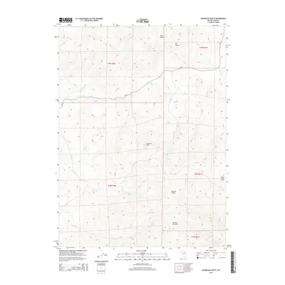
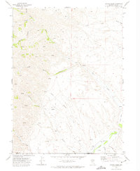
2014 Map of Sugarloaf Butte
USGS Topo · Published 2014About this map
Sugarloaf Butte rises as a central landmark within this high-desert landscape of Elko County, marking a terrain defined by the southern reaches of the Tuscarora Mountains. The 2014 survey reveals an area primarily characterized by its intricate drainage systems and isolated water sources, essential for survival in the Great Basin. A network of named springs, including Hub Spring, Core Springs, and Iron Spring, suggests a landscape historically vital for livestock and local travel.
Find a feature on this map
27 named features on this map. Tap any name to fly to it.
Don’t see what you’re looking for? This feature index may not catch every label — zoom into the map to look around manually.
Map Details
Editions of this 2014 Sugarloaf Butte Map
This is the sole edition of this map. No revisions or reprints were ever made.
Other maps of this area

1955 · McDermitt
USGS Topo · 1:250,000

1956 · Tuscarora
USGS Topo · 1:62,500

1956 · Mt. Blitzen
USGS Topo · 1:62,500

1959 · McDermitt
USGS Topo · 1:250,000

1970 · Sugarloaf Butte
USGS Topo · 1:24,000

1970 · Lake Mountain
USGS Topo · 1:24,000
1970 · China Camp
USGS Topo · 1:24,000
1970 · Santa Renia Fields
USGS Topo · 1:24,000
1970 · Beaver Peak
USGS Topo · 1:24,000
1970 · Beaver Creek
USGS Topo · 1:24,000