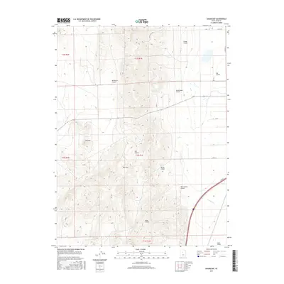
2017 Map of Sugarloaf
USGS Topo · Published 2017About this map
The West Hills dominate this portion of the Utah landscape, characterized by a complex network of drainages and prominent peaks like Sugarloaf. This 2017 survey reveals a terrain defined by its water sources, including Government Spring and Orme Spring, which have long been vital markers in this arid environment. The eastern edge of the map transitions into the Juab Valley, where the land levels out to accommodate transit corridors like Elwood. Numerous named canyons, such as McPherson Canyon and Hall Canyon, carve through the uplands, illustrating the erosional history of the region. The map also traces local thoroughfares like Sheep Ln and Cazier Canyon Rd, reflecting the rural infrastructure that supports land management and access across the public and private boundaries of the t13s r1w township.
Find a feature on this map
30 named features on this map. Tap any name to fly to it.
Don’t see what you’re looking for? This feature index may not catch every label — zoom into the map to look around manually.
Map Details
Editions of this 2017 Sugarloaf Map
This is the sole edition of this map. No revisions or reprints were ever made.
Other maps of this area

1885 · Manti
USGS Topo · 1:250,000

1885 · Sevier Desert
USGS Topo · 1:250,000

1895 · Manti
USGS Topo · 1:250,000

1951 · Santaquin
USGS Topo · 1:62,500

1951 · Nephi
USGS Topo · 1:62,500

1953 · Delta
USGS Topo · 1:250,000

1954 · Tintic Mountain
USGS Topo · 1:24,000

1956 · Price
USGS Topo · 1:250,000

1958 · Delta
USGS Topo · 1:250,000

1960 · Price
USGS Topo · 1:250,000