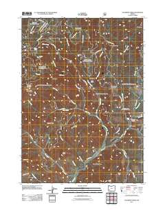
2011 Map of Sugarpine Creek
USGS Topo · Published 2011About this map
Abbott Prairie and the ridges of the Rogue River Range dominate this part of Jackson County, where timber and terrain dictated the location of early outposts. The network of Forest Service and BLM roads provides access to remote landmarks like Buckhorn Cabin, Johns Camp, and Fawn Camp. A landscape defined by steep drainage basins, the area is dissected by Sugarpine Creek and Elkhorn Creek, which flow past geological features such as White Rock and Heck Rock. Evidence of resource extraction and local place-naming is found at the Buzzard Mine Rd and the mineral-tinged waters of Bitter Lick. From the heights of Elkhorn Peak to the lower reaches of Elk Creek, this map documents a specific moment in the management and naming of Oregon's high country.
Find a feature on this map
51 named features on this map. Tap any name to fly to it.
Don’t see what you’re looking for? This feature index may not catch every label — zoom into the map to look around manually.
Map Details
Editions of this 2011 Sugarpine Creek Map
This is the sole edition of this map. No revisions or reprints were ever made.
Other maps of this area

1891 · Ashland
USGS Topo · 1:250,000

1893 · Ashland
USGS Topo · 1:250,000

1897 · Ashland
USGS Topo · 1:250,000

1943 · Trail
USGS Topo · 1:62,500

1944 · Tiller
USGS Topo · 1:62,500

1944 · Abbott Butte
USGS Topo · 1:62,500

1947 · Abbott Butte
USGS Topo · 1:62,500

1954 · Butte Falls
USGS Topo · 1:62,500

1955 · Medford
USGS Topo · 1:250,000

1957 · Medford
USGS Topo · 1:250,000